Right now
Right now as of Oct 28, 2026
- Permit None needed.
Status note (Oct 28, 2026): Open as far as official sources show (checked Oct 28, 2026). OC Parks says Black Star Canyon Road is always open for public access to Cleveland National Forest. The 2026 Airport Fire closure covers the Santiago Peak and Trabuco area to the south; Black Star Canyon lies outside it, per the Order 02-26-09 map. What the status labels mean
Black Star Canyon Falls is a waterfall of about 65 feet, per LA Trail Hikers, in Black Star Canyon near Silverado, Orange County. Orange County Outdoors lists a 7.8-mile round trip up Black Star Canyon Road, ending in a creek scramble. OC Parks says the road is always open for public access to Cleveland National Forest, and the 2026 Airport Fire closure does not include the canyon.
About Black Star Canyon Falls
Black Star Canyon Falls, also called Black Star Falls, is in Black Star Canyon above Silverado in Orange County. LAist's 2011 article places the falls in the Cleveland National Forest. LAist says the road to the canyon is surrounded by private land, but the public is allowed to travel it.
Access is the complicated part. Black Star Canyon Road is a county road easement through private land. OC Parks says the road is always open for public use and for access to Cleveland National Forest.
Wikipedia calls the 'private road' signs at the canyon entrance 'half-true'. The lower road is privately maintained, but the county and the Forest Service have held a public right-of-passage easement on it for decades. Wikipedia adds that Orange County officials do not maintain the road.
The lower canyon belongs to OC Parks as part of its Irvine Ranch Open Space, managed with the Irvine Ranch Conservancy. OC Parks acquired the land from the Irvine Company in 2010, Voice of OC reported.
We found no official height, stream name or coordinates for the falls; the map location on this page comes from OpenStreetMap. LA Trail Hikers describes a 65-foot waterfall, which is a guide's figure, not a survey. We also found no openly licensed photo of the falls.
History and the canyon's reputation
Wikipedia summarizes the canyon's history. A Tongva village site in the canyon is California Historical Landmark No. 217.
In 1831, a party of trappers led by William Wolfskill fought with Tongva people in the canyon. Wikipedia notes the event has more recently been identified as a communal massacre.
The name comes from the Black Star Coal Mining Company, which August Witte founded in 1879. The land became part of Cleveland National Forest in the late 1880s, and the Forest Service built the road up the canyon in the early 1920s, Wikipedia says.
Getting there and parking
Park free near the start of Black Star Canyon Road in Silverado, then walk up the road. OC Parks says the road is always open for public use, so no reservation is needed to walk it.
Trailhead and parking
OC Parks lists 13333 Black Star Canyon Road, Silverado, CA 92676, as the address for Irvine Ranch Open Space. OC Parks says parking is free in Irvine Ranch Open Space. Park legally and don't block the road or private driveways.
We found no official map of legal parking zones or of the vehicle gate on the road. Trail guides describe the walk starting on Black Star Canyon Road itself.
Stay on Black Star Canyon Road. The OC Parks trails that branch off it open only on Wilderness Access Days, which need no registration, or for registered programs listed at letsgooutside.org. Other land beside the road is private.
Dogs may come along on Black Star Canyon Road but aren't allowed on other Irvine Ranch Open Space trails. The OC Parks phone number is 714-973-6696.
Map and nearby falls
Map loads as you scroll. Open in OpenStreetMap
OpenPartly open / seasonalUnconfirmedClosedLarger map
The hike: road walk and creek scramble
Trail guides describe the usual route as a walk up Black Star Canyon Road, followed by a scramble up the creek to the falls. We found no agency distance, time or difficulty rating for it.
Black Star Canyon Road
Orange County Outdoors, an independent regional guide not affiliated with the county, lists 7.8 miles round trip, about 6 hours, and rates it difficult. LA Trail Hikers gives about 8 miles round trip and says there are no restrooms at the trailhead or along the trail.
The road continues uphill toward the Main Divide. A 2024 Airport Fire order listed North Main Divide Road as a closed route, so turn back at the falls rather than continue up toward the ridge.
The creek scramble to the falls
Those guides call the last stretch a scramble rather than a trail, and LA Trail Hikers rates it Level 7 for boulder scrambling. If you aren't comfortable choosing your own footing along a creek, the road walk alone may suit you better.
We could not confirm hours for the road or for the National Forest land above it. The route isn't wheelchair accessible.
When to visit
Black Star Canyon lies outside the 2026 Airport Fire closure, but check Cleveland National Forest alerts before you go. The Cleveland National Forest's Airport Fire closure, Order 02-26-09, runs from May 27, 2026 through May 26, 2027 on the Trabuco Ranger District. It replaced an earlier order, 02-25-04.
The order's map shows the 2026 closure starting near Modjeska Peak and running south through Holy Jim, Trabuco Canyon and the San Juan area. Silverado Canyon and the hills to the north, including Black Star Canyon, lie outside it.
Inside the closure, the Forest Service lists fines of up to $5,000 for an individual or six months in prison. Rules can change, so check Cleveland National Forest alerts before you go.
We found no official guidance on the best season for flow. Orange County Outdoors lists winter and spring, and LA Trail Hikers says the falls are often a trickle in summer and fall. There is no live flow gauge for the falls.
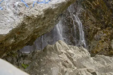
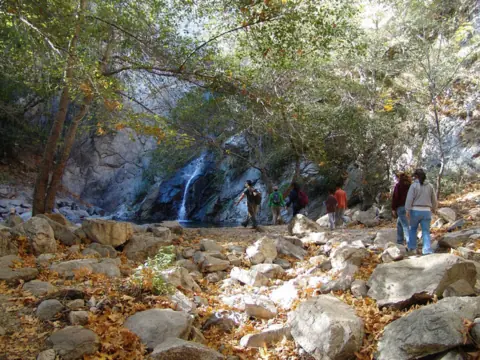
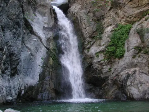
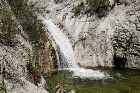
For other southern California falls, Cedar Creek Falls in San Diego County is a Cleveland National Forest falls with a Recreation.gov permit system. Paradise Falls in Thousand Oaks has a 3.2-mile loop, but it closes after rain, so check its status before you go.
| Height | 65 ftNote: per LA Trail Hikers; not an official figure, and no USGS height found |
|---|---|
| Trail | Walk up Black Star Canyon Road, then scramble up the creek to the falls. Orange County Outdoors lists 7.8 mi round trip and about 6 hours; LA Trail Hikers says about 8 mi. No agency distance found |
| Difficulty | Difficult (Orange County Outdoors); LA Trail Hikers rates it Level 7 with boulder scrambling |
| Time needed | About 6 hours (Orange County Outdoors) |
| Entry fee | No fee listed; OC Parks says parking is free in Irvine Ranch Open Space |
| Permit / reservation | None for Black Star Canyon Road; OC Parks side trails open only on Wilderness Access Days or for registered programs |
| Parking | Black Star Canyon Rd, Silverado |
| Dogs | Allowed only on Black Star Canyon Road, not on other Irvine Ranch Open Space trails (OC Parks) |
| Swimming | No official swimming rule found |
| Wheelchair / stroller | No |
| Walk behind the falls | No |
| Restrooms | None at the trailhead or along the trail, per LA Trail Hikers (2017) |
| Best time to visit | Winter and spring (Orange County Outdoors); LA Trail Hikers says the falls are often a trickle in summer and fall |
| Managed by | Cleveland National Forest; the access road crosses private land and OC Parks' Irvine Ranch Open Space |
Safety and swimming
Stay on Black Star Canyon Road and on public land. Stepping off the road can put you on private property, or on OC Parks land that is closed outside scheduled days.
We could not find an official swimming rule at the falls. Do not climb the rock faces around them, and expect slippery footing in the creek bed.
If you find a Forest Service closure sign, obey it, even though OC Parks describes the road as always open. Turn back rather than look for a way around it.
Where to stay near Black Star Canyon Falls
Compare hotels, cabins and rentals close to the falls around Silverado.
See places to stay nearbyAffiliate link: we may earn a commission at no cost to you. Partners do not see or change our waterfall facts. Disclosure.
Black Star Canyon Falls FAQ
Is it legal to hike to Black Star Canyon Falls?
Yes, on the road. Black Star Canyon Road is a county road open to the public for access to Cleveland National Forest, OC Parks says. The land on either side is private or OC Parks property, so stay on the road.
Is Black Star Canyon closed after the Airport Fire?
No, as far as official sources show. Forest Order 02-26-09 closes the Santiago Peak and Trabuco area to the south through May 26, 2027. Its map places Black Star Canyon outside the closure.
Where do you park for Black Star Canyon Falls?
Near the start of Black Star Canyon Road, which OC Parks lists at 13333 Black Star Canyon Rd, Silverado. Parking is free, and no reservation is needed for the road. Don't park on private land or block the road.
How long is the hike to Black Star Canyon Falls?
About 7.8 miles round trip and about 6 hours, per Orange County Outdoors. LA Trail Hikers says about 8 miles. No agency publishes a distance.
Is Black Star Canyon Falls a hard hike?
Yes, by guide ratings. Orange County Outdoors rates it difficult, and LA Trail Hikers rates it Level 7, with boulder scrambling up the creek to the falls.
Is Black Star Canyon Falls flowing now?
Only after recent rain. Orange County Outdoors lists winter and spring as the best time, and LA Trail Hikers says the falls are often a trickle in summer and fall. There is no live gauge.
Are the 'private property' signs in Black Star Canyon real?
Partly. Wikipedia calls them 'half-true': the lower road is privately maintained, but the county and Forest Service hold a public right-of-passage easement on it.
Can I bring my dog to Black Star Canyon?
OC Parks allows dogs on Black Star Canyon Road only, not on other Irvine Ranch Open Space trails.
Nearby waterfalls
Sources
Some facts credited to LAist come from search-result excerpts of its 2011 article. Confirm access rules with OC Parks and the Forest Service.
- OC Parks: Irvine Ranch Open Space
- Wikipedia: Black Star Canyon
- Voice of OC: Black Star Canyon Wilderness Park (2024)
- LAist: Top 10 questions about the mysterious Black Star Canyon (Dec 2, 2011)
- USDA Forest Service: Airport Fire burned area closure, Order 02-26-09 and Exhibit A map (last updated May 27, 2026)
- OpenStreetMap: Black Star Canyon Falls map location
- Orange County Outdoors (Mark Girardeau): Black Star Falls
- LA Trail Hikers: Black Star Canyon (July 15, 2017)
- USDA Forest Service via InciWeb: Airport Fire closure Exhibit B, Trabuco Ranger District (Order 02-24-26, Sept 2024)
Last verified Oct 28, 2026 by The Waterfall Guide editorial team. Conditions change: confirm with Cleveland National Forest; the access road crosses private land and OC Parks' Irvine Ranch Open Space before you go. Spotted something out of date? Report a correction.