Right now
Right now as of Oct 28, 2026
- Permit No permit needed. Entry fee: $5 Adventure Pass to park.
Status note (Oct 28, 2026): Open. The Forest Service Chantry Flat page (updated April 23, 2026; read October 28, 2026) shows Site Open and lists the Sturtevant Loop and Trail as open. The Sierra Madre section of the Mt. Wilson Trail stays closed. The Forest Service says the Chantry Flat road can close to vehicles at any time. What the status labels mean
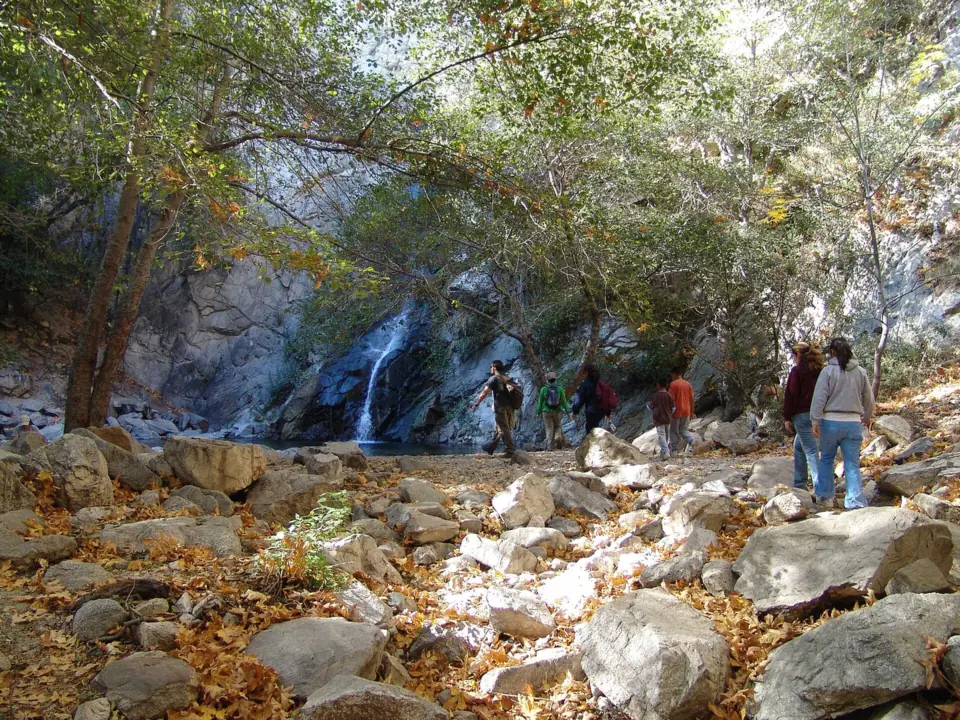
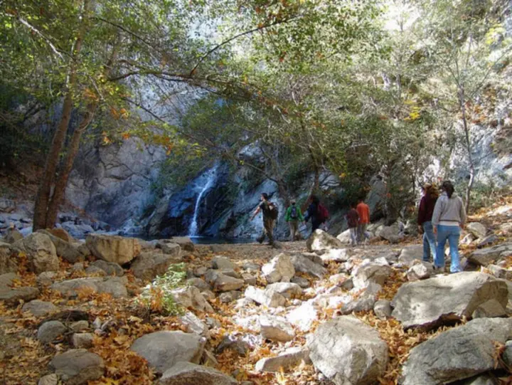
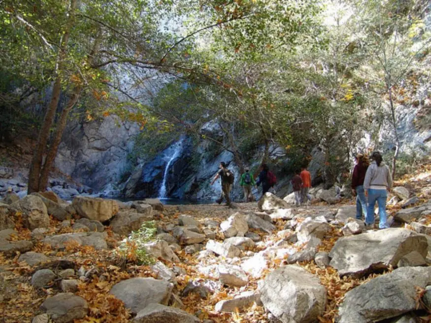
Sturtevant Falls is a 55-foot waterfall on Santa Anita Creek in the Angeles National Forest, according to a Forest Service brochure. The hike starts at Chantry Flat above Arcadia, where you need an Adventure Pass or America the Beautiful pass to park. A Forest Service brochure calls it about a 1.75-mile hike. The Forest Service lists the Sturtevant trail as open, though the Chantry Flat road can close to vehicles at any time.
About Sturtevant Falls
Santa Anita Creek pours over Sturtevant Falls in Big Santa Anita Canyon, in the San Gabriel Mountains above Arcadia. A Forest Service brochure calls it one of the Angeles National Forest's highest waterfalls, at 55 feet. Wikipedia gives 60 feet.
Wikipedia notes that the North Fork of Santa Anita Creek joins the main stream about a quarter mile above the falls.
Chantry Flat has a long recent history of closures. The Forest Service reopened it on October 2, 2024, for the first time since the 2020 Bobcat Fire and the floods that followed. LA County Public Works first had to repair the access road, which had been undercut.
Three months later, the January 2025 Eaton Fire closure briefly took in the area. Chantry Flat reopened in April 2025 under Forest Order 05-01-25-09, which has since expired. The current Eaton Fire order runs through December 31, 2027, and it doesn't name Sturtevant or Chantry Flat.
Big Santa Anita Canyon cabins
The trail passes some of the canyon's historic cabins, per trail guides. KCRW reported in 2020 that the Bobcat Fire destroyed 17 of the 81 cabins in Big Santa Anita Canyon.
Supplies still reach them by pack animal. The Forest Service says Adams Pack Station at Chantry Flat, which has an onsite cafe, is the only pack station in Southern California. Its donkeys carry goods to cabin owners and to Sturtevant Camp.
Getting there and parking
The Sturtevant Falls hike starts at Chantry Flat, 5 miles up the road from N. Santa Anita Avenue in Arcadia, per the Forest Service.
From Pasadena and Los Angeles
Take Interstate 210 to N. Santa Anita Avenue in Arcadia, then drive 5 miles up the mountain road to Chantry Flat, per the Forest Service. The picnic area sits at about 2,200 feet.
The Forest Service says LA County Public Works maintains most of that road, and the City of Sierra Madre controls the gate.
Chantry Flat parking and the road gate
To park at Chantry Flat, the Forest Service requires a Forest Adventure Pass or an America the Beautiful interagency pass. Its 2026-2028 pass list puts a daily Adventure Pass at $5 and an annual pass at $30, valid for 12 months from the month you buy it.
Interagency pass prices changed on January 1, 2026, the National Park Service says. The America the Beautiful annual pass now costs $80 for US residents and $250 for nonresidents. Senior passes remain $20 a year or $80 for life.
The Forest Service has listed day-use hours of 6am to 8pm in the past. Check the posted gate time, and plan to be back at the lot well before it.
The Forest Service warns that the road may close to vehicles for safety at any time, even when the picnic area and trails are open. Check Angeles National Forest alerts on the morning of your trip.
Map and nearby falls
Map loads as you scroll. Open in OpenStreetMap
OpenPartly open / seasonalUnconfirmedClosedLarger map
The Sturtevant Falls Trail from Chantry Flat
The hike is an out-and-back from Chantry Flat, so you return the way you came. A Forest Service brochure describes it as about a 1.75-mile hike but doesn't say whether that is one way.
Trail guides put the round trip at about 3.3 miles (Hikespeak) to 3.7 miles (Dan's Hiking Pages). The trail drops into the canyon from the lot, so most of the climbing comes on the walk back up.
We found no Forest Service difficulty rating or hiking time. Allow time to get back before the gate closes.
Other trails from Chantry Flat
As of April 2026, the Forest Service lists the First Water, Gabrielino and Upper and Lower Winter Creek trails as open. It asks hikers to stay off the Zion Trail for now, since it still needs volunteer work.
The Sierra Madre section of the Mt. Wilson Trail is closed below the Upper Winter Creek Trail, and Mt. Wilson lies inside the post-Eaton Fire closure area.
Chantry Flat has flush and vault toilets, drinking fountains at both lots, and picnic tables with grills. None are reported at the falls, so fill your bottles before you set out.
When to visit
We found no official best season for Sturtevant Falls. The Chantry Flat area is open year-round, subject to closures, so road status and parking matter more than the calendar when you plan.
Closures and fire restrictions
Fire and flood closures shut Chantry Flat from 2020 to 2024 and again in early 2025. Before any trip, check Angeles National Forest alerts and LA County's trail alert for the Eaton Fire closure area.
The Forest Service says the picnic grills can't be used during extreme or critical fire restrictions.
If you're comparing options, Switzer Falls is another Angeles National Forest falls with an open picnic site in 2026. Eaton Canyon Falls, above Pasadena, stays closed until the end of 2027.
| Height | 55 ftNote: per a Forest Service brochure; Wikipedia gives 60 ft |
|---|---|
| Trail | Out-and-back from Chantry Flat. A Forest Service brochure calls it about a 1.75-mile hike; trail guides put the round trip at about 3.3 to 3.7 miles |
| Difficulty | No Forest Service rating; the climb comes on the way back up to Chantry Flat |
| Entry fee | Adventure Pass ($5 day, $30 annual) or America the Beautiful pass required to park at Chantry Flat (Forest Service) |
| Permit / reservation | No hiking permit; a forest parking pass is required at Chantry Flat |
| Parking | Chantry Flat lot; forest pass required |
| Hours / season | 6am to 8pm as last listed by the Forest Service; check the posted gate time |
| Swimming | No official swimming rule found |
| Walk behind the falls | No |
| Restrooms | Flush and vault toilets at Chantry Flat, with drinking fountains at the upper and lower lots (Forest Service); none reported at the falls |
| Managed by | USDA Forest Service, Angeles National Forest |
Safety and swimming
The Forest Service warns that people who have left the trail near Sturtevant Falls have been seriously hurt in falls. Stay on the trail, and do not climb the rock beside the waterfall.
We could not find an official swimming rule for the pool below the falls. If you go near the water, expect wet, slippery rock, and keep children close.
The Forest Service also asks visitors to be bear aware at Chantry Flat. Parts of the San Gabriel foothills remain closed under the Eaton Fire order through 2027, so respect any closure sign. Carry enough water and light to get back before the gate closes.
For general tips, see our waterfall safety page.
Where to stay near Sturtevant Falls
Compare hotels, cabins and rentals close to the falls around Arcadia.
See places to stay nearbyAffiliate link: we may earn a commission at no cost to you. Partners do not see or change our waterfall facts. Disclosure.
Photos

Sturtevant Falls FAQ
Is Sturtevant Falls open after the Eaton Fire?
Yes. The Forest Service Chantry Flat page, updated April 23, 2026, shows Site Open and lists the Sturtevant Loop and Trail as open. The nearby Mt. Wilson Trail is still in the Eaton Fire closure area. Check alerts first, because the Chantry Flat road can close to vehicles.
Where do you park for Sturtevant Falls?
At Chantry Flat, 5 miles up the road from N. Santa Anita Avenue in Arcadia. Display an Adventure Pass or America the Beautiful pass. The Forest Service says the road can close to vehicles at any time, so check alerts before you drive.
Do I need an Adventure Pass for Sturtevant Falls?
Yes, to park at Chantry Flat. The Forest Service accepts a Forest Adventure Pass, which costs $5 a day or $30 a year, or an America the Beautiful pass.
How long is the hike to Sturtevant Falls?
A Forest Service brochure calls it about a 1.75-mile hike from Chantry Flat. Trail guides put the round trip at about 3.3 miles (Hikespeak) to 3.7 miles (Dan's Hiking Pages).
Is the Sturtevant Falls hike hard?
The Forest Service gives no rating. The distance is modest, about 3.3 to 3.7 miles round trip per trail guides, but the trail descends into the canyon first. That means the climbing comes on the way back to the car.
How tall is Sturtevant Falls?
A Forest Service brochure lists it at 55 feet. Wikipedia says 60 feet.
What time does the Chantry Flat gate close?
We found no current posted time. The Forest Service has listed day-use hours of 6am to 8pm in the past, so check the time posted at the gate and be driving out before it.
Are there restrooms on the Sturtevant Falls hike?
Yes, at the trailhead. Chantry Flat has flush and vault toilets and drinking fountains at the upper and lower lots, per the Forest Service. None are reported along the trail or at the falls.
Nearby waterfalls
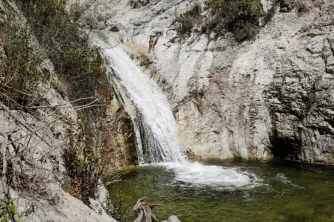
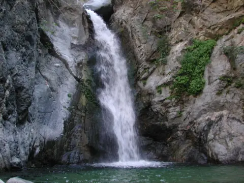 Eaton Canyon Falls5 mi straight-lineClosed50FT
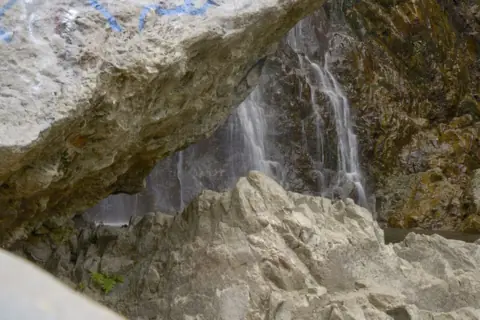
 Switzer Falls8 mi straight-lineOpen50FT
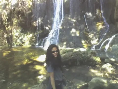
 Bonita Falls29 mi straight-lineOpen400FT
 Escondido Falls45 mi straight-lineOpen150FT
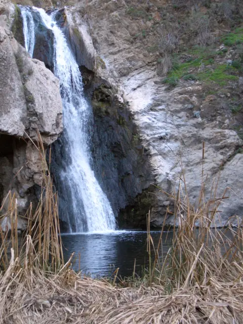 Paradise Falls51 mi straight-lineClosed40FT
City guides: Waterfalls near Los Angeles, CA
Sources
Some facts credited to the Forest Service come from search-result excerpts of its official pages. Confirm fees and rules on the official site.
- USDA Forest Service: Chantry Flat Picnic Area (updated Apr 23, 2026; read Oct 28, 2026)
- USFS: Chantry Flat reopens Oct 2 (2024)
- USFS: Several popular areas reopen (Apr 2025)
- USDA Forest Service: Forest Order 05-01-26-04, Eaton Fire closure (signed Jan 6, 2026)
- LA County Trails: Eaton Canyon & ANF closures
- USFS: Big Santa Anita Canyon brochure
- USDA Forest Service Region 5: Adventure Pass (archived Apr 14, 2026)
- USDA Forest Service San Bernardino NF: Passes (archived Apr 7, 2026)
- NPS: Nonresident fees (2026)
- Wikipedia: Santa Anita Creek
- USGS GNIS (National Map geonames)
- USDA Forest Service: Angeles National Forest alerts (archived Sep 8, 2026)
- KCRW: Bobcat Fire and Big Santa Anita Canyon cabins (2020)
- Hikespeak: Sturtevant Falls
- Dan's Hiking Pages: Sturtevant Falls
Last verified Oct 28, 2026 by The Waterfall Guide editorial team. Conditions change: confirm with USDA Forest Service, Angeles National Forest before you go. Spotted something out of date? Report a correction.