Right now
Right now as of Oct 28, 2026
- Status LA County says the Eaton Canyon Natural Area and its trails, including the waterfall, stay closed until December 31, 2027. No reopening date is set (trail alert checked Oct 28, 2026).
Status note (Oct 28, 2026): Closed. LA County says the Eaton Canyon Natural Area and its trails, including the waterfall, stay closed until December 31, 2027. No reopening date is set (trail alert checked Oct 28, 2026). The Forest Service's Eaton Fire closure area also runs through December 31, 2027. What the status labels mean
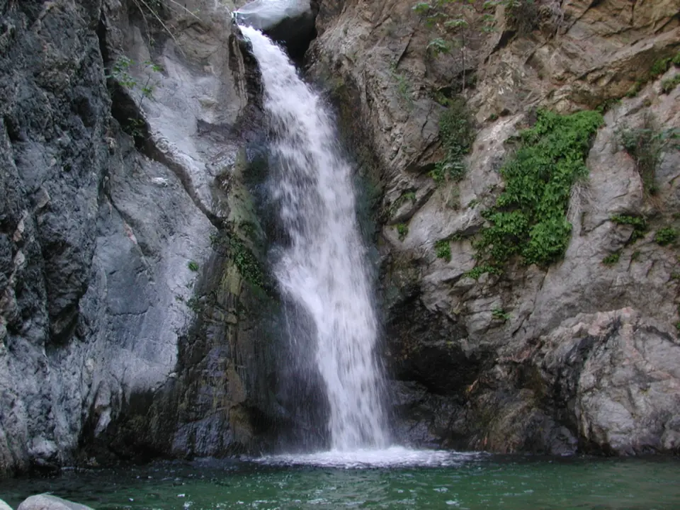
Eaton Canyon Falls is closed. LA County says the Eaton Canyon Natural Area, its trails and the waterfall stay closed until December 31, 2027, after the January 2025 Eaton Fire. No reopening date has been set. No access point reaches the falls, which Wikipedia describes as a 50-foot drop.
About Eaton Canyon Falls
Eaton Canyon Falls is on Eaton Wash in the Eaton Canyon Natural Area, at the Pasadena and Altadena line. LA County Parks & Recreation manages the Natural Area. Wikipedia places the falls north of the bridge, in the Angeles National Forest part of the canyon.
Wikipedia mentions a fifty-foot drop, while John Muir described the water pouring 'some thirty or forty feet'. No agency publishes an official height.
The January 2025 Eaton Fire burned much of the canyon and destroyed the Eaton Canyon Nature Center. Debris flows in February and March 2025 then reshaped or buried hiking trails, the LA County Parks Foundation says, leaving loose soil, falling rocks and fallen trees.
LA County now lists the whole Natural Area as closed until December 31, 2027, including waterfall access from any point. Its trail alert says no reopening date has been set. The Altadena Crest Trail, Chaney Trail and Hastings Debris Basin Trail are closed as well.
Recovery work has begun. A new Eaton Canyon Landscape Recovery Center grows native trees and shrubs for seven parks damaged by fire, according to the LA County Parks Foundation.
The upper falls were off-limits even before the fire. Wikipedia reports that the Forest Service closed the trail to them on August 1, 2014, after injuries and deaths on unofficial routes.
Getting there and parking
There is currently no legal way in.
Where the trailhead was
Before the fire, the Eaton Canyon Trail began at the Nature Center lot, 1750 N. Altadena Drive, Pasadena 91001. That lot is inside the closure.
On the National Forest side, the Forest Service's Order 05-01-26-04 bars entry to forest lands, roads and trails in the Eaton Fire closure area. It runs from January 7, 2026 to December 31, 2027, and names the Idlehour and Millard trail camps.
Other closed areas
LA County's alert lists more closed places in the fire area. They include the lower Mount Wilson Toll Road, Henninger Flats and Inspiration Point. The Sam Merrill, Echo Mountain, Mount Lowe and Castle Canyon trails are also closed, as are the Bailey Canyon Wilderness Park trails in Sierra Madre.
The county's alert also lists Chaney Trail Road as closed to vehicles. The alert still gives 'Fall 2026' in one place and 'Spring 2026' in another, so check its current status before driving up.
LA County says Millard Canyon trails are open but the campground stays closed. The Forest Service order still names the Millard trail camp, so confirm with Angeles National Forest before planning a Millard visit.
Map and nearby falls
Map loads as you scroll. Open in OpenStreetMap
OpenPartly open / seasonalUnconfirmedClosedLarger map
The trail (closed) and open falls nearby
The Eaton Canyon Trail to the falls is closed until December 31, 2027, but LA County says several nearby Angeles National Forest trails have reopened.
The Eaton Canyon Trail before the fire
Before the closure, LA County rated the Eaton Canyon Trail as moderate with 310 feet of elevation gain. LA County never listed a length. Leashed dogs were allowed at the time.
Open trails nearby
LA County's alert says the Sunset Ridge, Dawn Mine, Tom Sloane and Bear Canyon trails in the Angeles National Forest have reopened. It also lists the Mount Wilson Trail as reopened by the City of Sierra Madre. The Forest Service's Chantry Flat page says the Sierra Madre section below Upper Winter Creek Trail stays closed, so check both before you go.
Other waterfalls
The Forest Service lists Chantry Flat, the start for Sturtevant Falls above Arcadia, as open, with the Sturtevant Loop and Trail open (as listed Oct 2026). The road into Chantry Flat can close to vehicles at any time, it warns.
The Forest Service also lists the Switzer Picnic Site, the start for Switzer Falls off Angeles Crest Highway, as open. In Malibu, Escondido Falls is another option; see its page for flow and access notes.
When to visit
There is no season to visit Eaton Canyon Falls while LA County's closure runs until December 31, 2027.
Reopening outlook
The closure runs until December 31, 2027, and LA County says no reopening date has been set. Check the county's trail alert for updates rather than planning around that date.
In June 2026, a county biologist told CBS Los Angeles that the canyon would not reopen that year. Supervisor Kathryn Barger's office said in November 2025 that the Nature Center rebuild had secured $16.2 million, but more funds are needed.
Even after reopening, conditions here may differ from what older trail guides describe. Debris flows reshaped the canyon in 2025, so expect changes to the route.
| Height | 50 ftNote: per Wikipedia's mention of a fifty-foot drop; John Muir described water pouring some thirty or forty feet; no official height |
|---|---|
| Trail | Closed until December 31, 2027. LA County lists the Eaton Canyon Trail as moderate with 310 ft of elevation gain (no length given). |
| Difficulty | Moderate |
| Entry fee | Not applicable; the area is closed to all entry |
| Permit / reservation | No permit allows entry while the area is closed |
| Parking | Closed |
| Dogs | Leashed dogs were allowed before the closure (LA County) |
| Swimming | No entry; the whole Natural Area is closed |
| Wheelchair / stroller | No |
| Walk behind the falls | No |
| Managed by | Los Angeles County Parks & Recreation (Eaton Canyon Natural Area); upper canyon in Angeles National Forest |
Safety and swimming
Do not enter the closure. Forest Service closure orders carry fines of up to $5,000 for individuals, up to six months in prison, or both.
The hazards are physical as well as legal. LA County warns that narrow corridors, such as the Waterfall Trail, can funnel flash-flood flows. The Parks Foundation describes loose soil, falling rocks and fallen trees left by the debris flows.
The trail to the upper falls has been closed by the Forest Service since 2014. Do not use unofficial routes into the canyon.
Where to stay near Eaton Canyon Falls
Compare hotels, cabins and rentals close to the falls around Pasadena / Altadena.
See places to stay nearbyAffiliate link: we may earn a commission at no cost to you. Partners do not see or change our waterfall facts. Disclosure.
Eaton Canyon Falls FAQ
Is Eaton Canyon Falls open, and when will it reopen?
No. LA County has closed the Eaton Canyon Natural Area, its trails and the waterfall until December 31, 2027 after the January 2025 Eaton Fire. The county says no reopening date has been set.
Why is Eaton Canyon closed?
The Eaton Fire burned much of the canyon and destroyed the Nature Center. Debris flows in February and March 2025 then buried or reshaped trails, leaving loose rock and flash-flood hazards.
What's the fine for entering Eaton Canyon?
On Angeles National Forest land, Forest Service closure orders carry fines of up to $5,000 for individuals, up to six months in prison, or both.
How long is the Eaton Canyon Falls trail?
LA County never listed a length. Before the fire, it rated the Eaton Canyon Trail as moderate with 310 feet of elevation gain. The route may change after the 2025 debris flows.
Where is Eaton Canyon Falls?
In the Eaton Canyon Natural Area at the Pasadena and Altadena line, in Los Angeles County. The old trailhead was the Nature Center lot at 1750 N. Altadena Drive. The falls sit in the Angeles National Forest part of the canyon, per Wikipedia.
Is the Eaton Canyon Nature Center open?
No. The Nature Center burned in the Eaton Fire. A Landscape Recovery Center now grows native plants for fire-damaged parks, but the Natural Area stays closed to visitors.
Are nearby trails open instead?
Some are. LA County lists the Sunset Ridge, Dawn Mine, Tom Sloane and Bear Canyon trails as reopened. Sources conflict on the Mount Wilson Trail in Sierra Madre: the county lists it as reopened, but the Forest Service says its lower section stays closed. The Mount Wilson Toll Road and Henninger Flats remain closed.
Nearby waterfalls
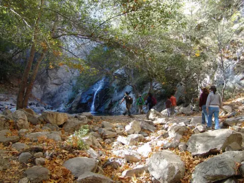 Sturtevant Falls5 mi straight-lineOpen55FT
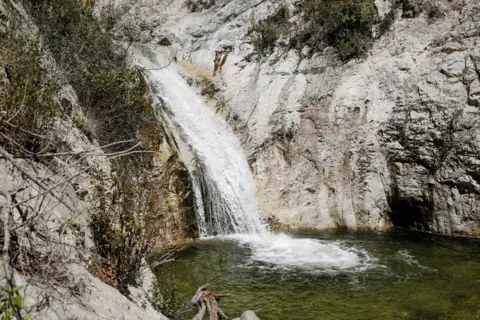 Switzer Falls5 mi straight-lineOpen50FT
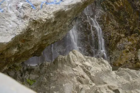 Bonita Falls34 mi straight-lineOpen400FT
 Escondido Falls40 mi straight-lineOpen150FT
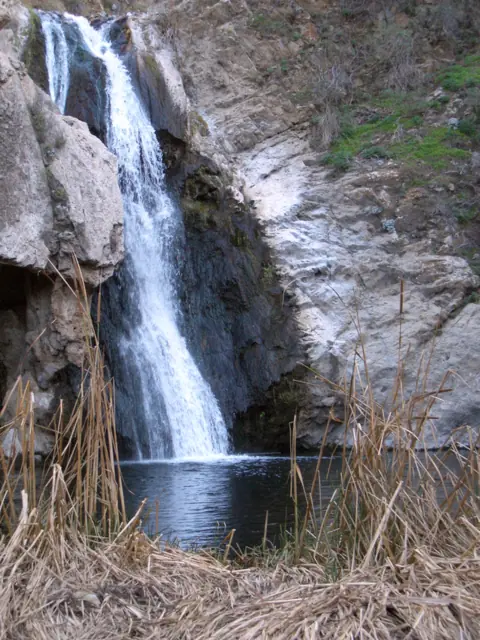 Paradise Falls46 mi straight-lineClosed40FT
City guides: Waterfalls near Los Angeles, CA
Sources
Some facts credited to the Forest Service come from search-result excerpts of its official pages. Confirm fees and rules on the official site.
- LA County Trails: Eaton Fire trail closures (why Eaton Canyon is closed)
- LA County Trails: Eaton Canyon Trail
- LA County Trails: Eaton Canyon & ANF closures
- LA County Parks Foundation: Eaton Canyon
- USDA Forest Service: Forest Order 05-01-26-04, Eaton Fire closure (signed Jan 6, 2026)
- Wikipedia: Eaton Canyon
- OpenStreetMap: Eaton Canyon Waterfall (node 2365263831)
- CBS Los Angeles: Eaton Canyon regrowth, still closed (June 3, 2026)
- Supervisor Kathryn Barger: push to rebuild Altadena's fire-damaged parks (Nov 21, 2025)
- USDA Forest Service: Chantry Flat Picnic Area (last updated April 23, 2026)
- USDA Forest Service: Switzer Picnic Site (last updated April 23, 2026)
Last verified Oct 28, 2026 by The Waterfall Guide editorial team. Conditions change: confirm with Los Angeles County Parks & Recreation (Eaton Canyon Natural Area); upper canyon in Angeles National Forest before you go. Spotted something out of date? Report a correction.