Right now
Right now as of Oct 28, 2026
- Permit No permit needed. Entry fee: Adventure Pass ($5/day).
Status note (Oct 28, 2026): Open. The Forest Service Switzer Picnic Site page (updated April 23, 2026; read October 28, 2026) shows Site Open. Switzer isn't named in the 2026-2027 Eaton Fire order or on LA County's closure list. Check Angeles National Forest alerts and Caltrans SR-2 conditions before you drive. What the status labels mean
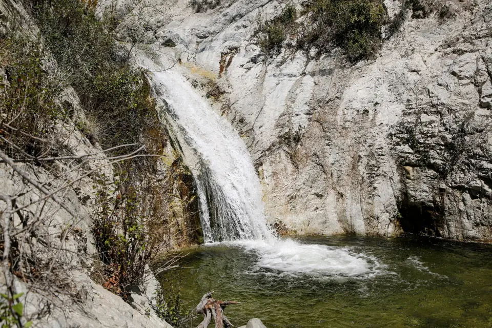
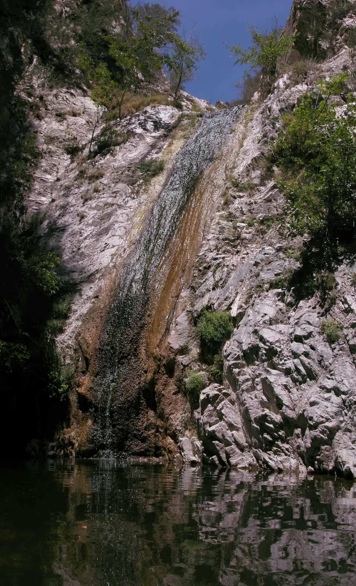
Switzer Falls is near the headwaters of the Arroyo Seco in the San Gabriel Mountains National Monument, above La Cañada Flintridge. Hikespeak and The Outbound put the main falls at about 50 feet; we found no official height. The usual hike follows the Gabrielino Trail from Switzer Picnic Site to the lower falls, about 4 miles round trip according to Wikipedia. The Forest Service site page shows Site Open, and parking needs an Adventure Pass or America the Beautiful pass.
About Switzer Falls
Switzer Falls is on the upper Arroyo Seco, close to the stream's headwaters in the Angeles National Forest. Forest Service photo captions place it in the San Gabriel Mountains National Monument, reached by the Gabrielino National Recreation Trail.
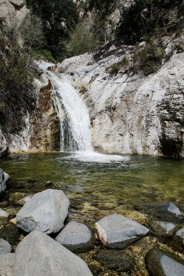
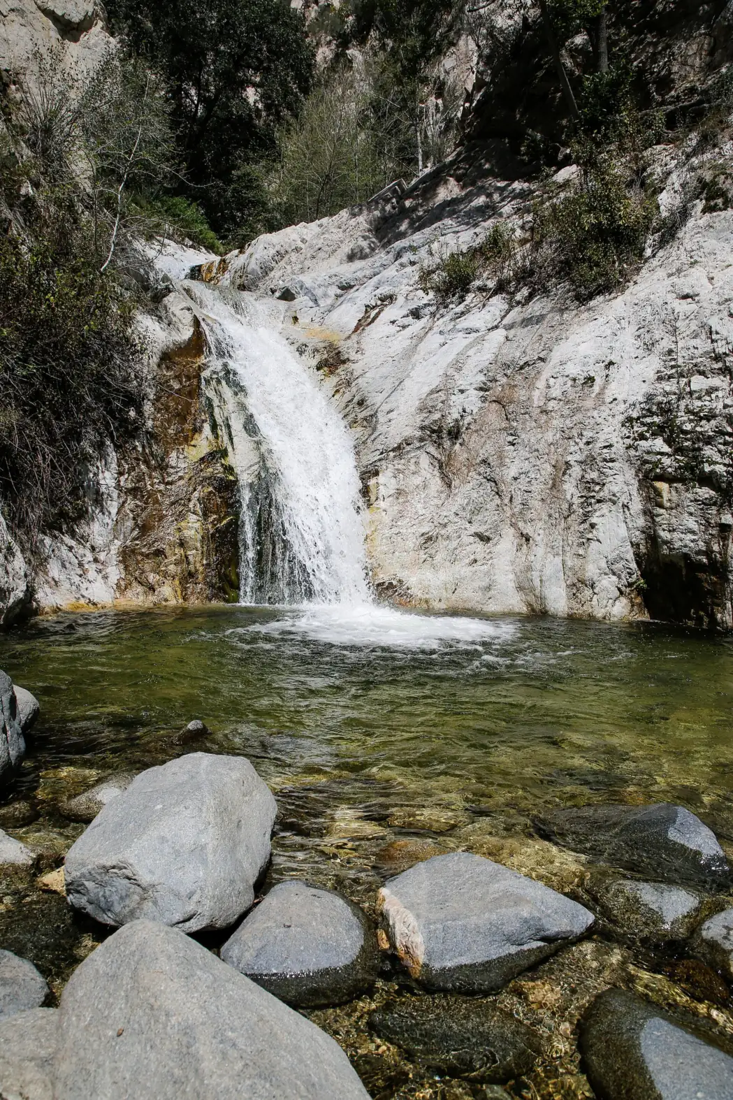
Most hikers aim for lower Switzer Falls, which is the destination Wikipedia gives for the standard hike. We found no official or USGS height. Hikespeak and The Outbound both put the main falls at about 50 feet, and The Outbound gives about 25 feet for the lower falls. The falls aren't listed in the federal place-name database, so the map location on this page comes from OpenStreetMap.
Switzer Picnic Site was among the areas the Forest Service reopened in April 2025 after the Eaton Fire closure, under Forest Order 05-01-25-09, which has since expired.
A new Eaton Fire order runs from January 7, 2026 to December 31, 2027. Switzer isn't named in it, and it doesn't appear on LA County's list of trails that remain closed. We found no other fire closure for Switzer in 2025 or 2026.
Getting there and parking
The Switzer Falls hike starts at Switzer Picnic Site on Angeles Crest Highway (SR-2) above La Cañada Flintridge. Parking there needs an Adventure Pass or America the Beautiful pass.
From Pasadena and La Cañada Flintridge
Drive north from La Cañada Flintridge on Angeles Crest Highway, State Route 2, to Switzer Picnic Site, near the junction with Angeles Forest Highway.
Caltrans reported in 2025 that all emergency repairs on SR-2 were complete and that the highway was open in both directions between I-210 and SR-138. The stretch closed by the Bridge Fire reopened on July 7, 2025.
Switzer Picnic Area parking
The Forest Service Switzer Picnic Site page says an Adventure Pass or America the Beautiful pass is required to park. It costs $5 per vehicle per day or $30 a year. No ticket or hiking permit is needed.
The site sits at about 3,300 feet and has 26 picnic sites with tables and pedestal grills, first come, first served, per the Forest Service. One wheelchair-accessible grill and table is available.
Sources disagree on the hours, so check the posted gate time on the Forest Service site page and at the lot when you park.
Crowds are part of the picture. Hikespeak calls this one of the most popular hikes in the front range of the San Gabriels and says the picnic area gets crowded. The Outbound says weekends are busy and suggests arriving early for the lower lot.
Map and nearby falls
Map loads as you scroll. Open in OpenStreetMap
OpenPartly open / seasonalUnconfirmedClosedLarger map
The Gabrielino Trail to Switzer Falls
The route follows the Gabrielino Trail from Switzer Picnic Site to lower Switzer Falls and back the same way. Wikipedia describes it as a 4-mile round trip.
We found no agency distance, elevation gain, hiking time or difficulty rating. Trail guides differ: The Outbound lists 3.66 miles round trip and rates the hike moderate, while Hikespeak gives 4.5 miles with about 650 feet of elevation change.
The Forest Service lists vault toilets at Switzer Picnic Site but no piped water. Stream water is seasonal and must be treated, and it may be low or gone in dry years, so bring all the water you need.
Dogs must be on a leash at the site (36 CFR 261.8(d), $150 fine); Hikespeak and The Outbound say dogs are allowed on the trail. Leave enough daylight for the walk back to your car.
Lower vs upper Switzer Falls
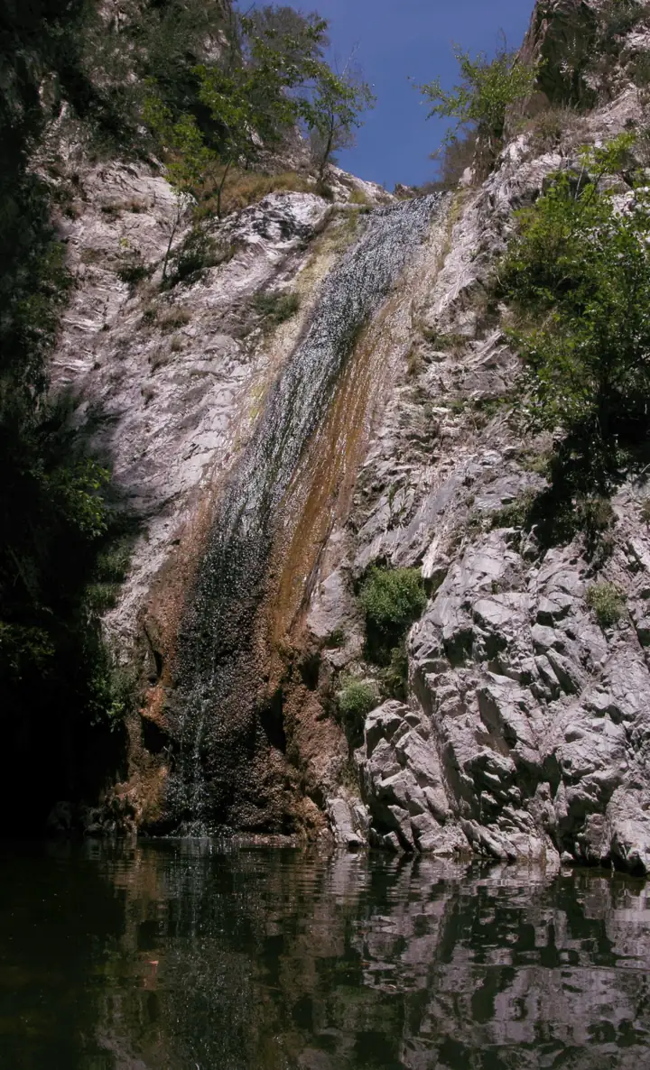
Most hikers stop at the lower falls. We found no official access statement for the upper falls. Serious falls, including a 2019 death, have happened around the top of the falls, so stay on the Gabrielino Trail.
When to visit
The area is open year-round, subject to closures. Before you leave home, check Angeles National Forest alerts for closures and Caltrans for State Route 2 conditions, which matter most in winter.
Best season and weather
We found no official guidance on when the falls flow best. The Outbound says the hike is best in winter and spring after rain. The Forest Service warns that stream flow may be low or non-existent after dry winters.
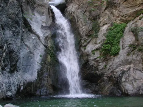
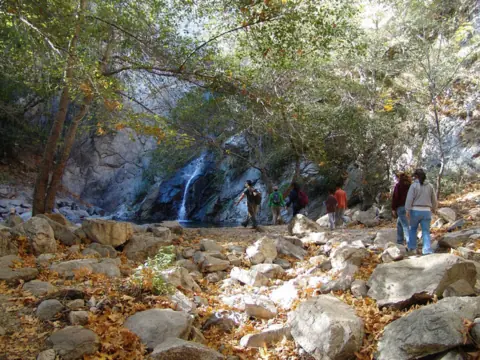
If the highway is a problem, Sturtevant Falls above Arcadia is another Angeles National Forest falls with an open site. Eaton Canyon Falls is closed until the end of 2027.
| Height | 50 ftNote: about 50 ft for the main falls, per Hikespeak and The Outbound; The Outbound puts the lower falls at about 25 ft; no official height |
|---|---|
| Trail | About 4 mi round trip on the Gabrielino Trail from Switzer Picnic Area to lower Switzer Falls (Wikipedia). The Outbound lists 3.66 mi, and Hikespeak 4.5 mi with about 650 ft of elevation change. No agency distance found |
| Difficulty | Moderate (The Outbound) |
| Entry fee | Adventure Pass or America the Beautiful pass required to park at Switzer Picnic Site: $5 per vehicle per day or $30 annual (Forest Service site page) |
| Permit / reservation | No hiking permit; Adventure Pass needed to park |
| Parking | Switzer Picnic Area off SR-2 |
| Hours / season | Posted hours conflict between sources; check the Forest Service Switzer Picnic Site page before you go |
| Dogs | On a leash of 6 feet or less at the picnic site (Forest Service rule); Hikespeak and The Outbound say dogs are allowed on the trail |
| Swimming | No official swimming rule found |
| Walk behind the falls | No |
| Restrooms | Vault toilets at Switzer Picnic Site; no piped water (Forest Service) |
| Best time to visit | Winter and spring after rain (The Outbound) |
| Crowds | High. Hikespeak calls it one of the most popular front-range hikes and says the picnic area gets crowded; The Outbound says to arrive early on weekends |
| Managed by | USDA Forest Service, Angeles National Forest (San Gabriel Mountains National Monument) |
Safety and swimming
Stay off the rock above the falls. In September 2019, a 17-year-old apparently fell about 50 to 60 feet at Switzer Falls after leaving his friends. The Crescenta Valley Weekly reported the fall. Montrose Search and Rescue found his body.
Stay on the Gabrielino Trail, and don't climb wet rock or cliffs near the falls. We could not find an official swimming rule. Expect slick rock near the water, and keep children within reach.
The Forest Service asks visitors to be bear aware at the picnic site. Fire closures in the San Gabriel Mountains change often, so if you meet a closure sign on the road or trail, follow it and turn back.
For general tips, see our waterfall safety page.
Where to stay near Switzer Falls
Compare hotels, cabins and rentals close to the falls around La Cañada Flintridge.
See places to stay nearbyAffiliate link: we may earn a commission at no cost to you. Partners do not see or change our waterfall facts. Disclosure.
Photos


Switzer Falls FAQ
Is Switzer Falls open in 2026?
Yes. The Forest Service Switzer Picnic Site page, updated April 23, 2026, shows Site Open, and Switzer isn't named in the Eaton Fire closure order. Check Angeles National Forest alerts and Caltrans SR-2 conditions before you go.
How long is the Switzer Falls hike?
About 4 miles round trip, per Wikipedia, from Switzer Picnic Site to lower Switzer Falls on the Gabrielino Trail. The Outbound lists 3.66 miles and Hikespeak 4.5 miles. We found no official distance.
Do you need a ticket or Adventure Pass for Switzer Falls?
There's no ticket or hiking permit. To park at Switzer Picnic Site, the Forest Service requires an Adventure Pass or America the Beautiful pass. A daily pass costs $5 and an annual pass $30.
How do I get to the Switzer Falls trailhead?
Take Angeles Crest Highway (SR-2) north from La Cañada Flintridge to Switzer Picnic Site, close to the Angeles Forest Highway junction.
Is Angeles Crest Highway open?
Caltrans reported SR-2 open between I-210 and SR-138 after emergency repairs finished in July 2025. Check Caltrans on the day you drive.
Can you swim at Switzer Falls?
We found no official swimming rule. The pools are shallow and the rock is slick, and flow can be low in dry years. Don't climb above the falls.
Are dogs allowed on the Switzer Falls trail?
Yes, per Hikespeak and The Outbound. At the picnic site, the Forest Service requires a leash of 6 feet or less.
Can you hike to the upper Switzer Falls?
We found no official access statement for the upper falls. Serious falls, including a 2019 death, have happened around the top of the falls. Stay on the Gabrielino Trail and view the lower falls.
Nearby waterfalls
 Eaton Canyon Falls5 mi straight-lineClosed50FT
 Sturtevant Falls8 mi straight-lineOpen55FT
 Bonita Falls37 mi straight-lineOpen400FT
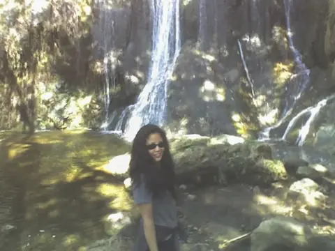 Escondido Falls39 mi straight-lineOpen150FT
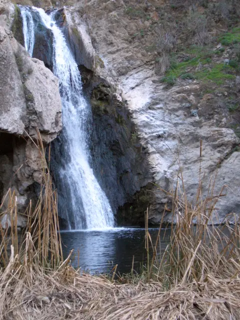 Paradise Falls43 mi straight-lineClosed40FT
City guides: Waterfalls near Los Angeles, CA
Sources
Some facts credited to the Forest Service come from search-result excerpts of its official pages. Confirm fees and rules on the official site.
- USFS: Several popular areas reopen (Apr 2025)
- USFS: Angeles National Forest alerts
- USDA Forest Service: Forest Order 05-01-26-04, Eaton Fire closure (signed Jan 6, 2026)
- LA County Trails: Eaton Canyon & ANF closures
- Caltrans: SR-2 emergency repairs complete (archived Jan 3, 2026)
- USDA Forest Service Region 5: Adventure Pass (archived Apr 14, 2026)
- USDA Forest Service San Bernardino NF: Passes (archived Apr 7, 2026)
- Wikipedia: Arroyo Seco (Los Angeles County)
- Wikimedia Commons: USFS photo of Switzer Falls (2024)
- OpenStreetMap: Lower Switzer Falls
- Hikespeak: Switzer Falls
- The Outbound: Swimming holes and a day hike to Switzer Falls
- USFS Angeles NF: Picnicking
- Crescenta Valley Weekly: teen dies in fall at Switzer Falls (Sept 5, 2019)
- USDA Forest Service: Switzer Picnic Site (updated Apr 23, 2026; read Oct 28, 2026)

Last verified Oct 28, 2026 by The Waterfall Guide editorial team. Conditions change: confirm with USDA Forest Service, Angeles National Forest (San Gabriel Mountains National Monument) before you go. Spotted something out of date? Report a correction.