Right now
Right now as of Oct 28, 2026
- Permit No permit needed. Entry fee: $5 Adventure Pass to park.
Status note (Oct 28, 2026): Open, with a rockfall warning. The Forest Service safety alert about falling rocks at Bonita Falls runs from July 24 to December 31, 2026. It is a caution, not a closure, and lists no recreation sites as affected. Call the Front Country Ranger District at 909-382-2851 before you go. What the status labels mean
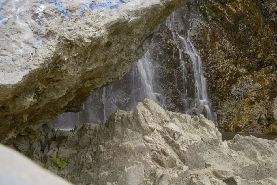
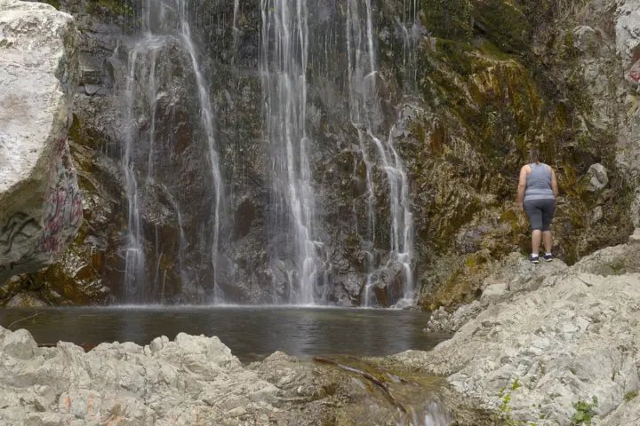
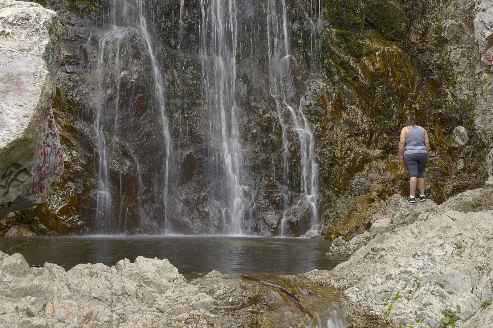
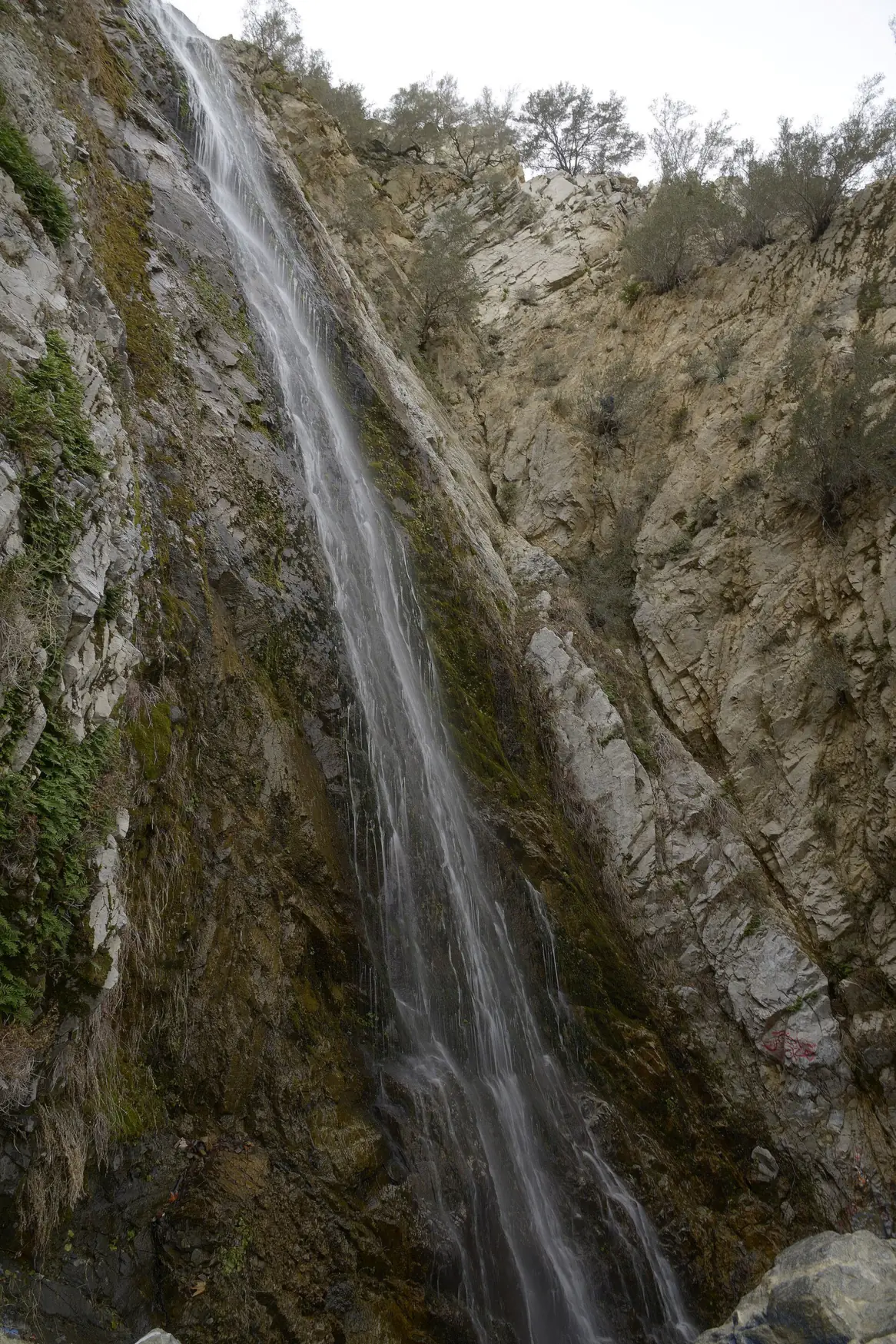
Bonita Falls is a multi-tiered waterfall on an unnamed tributary of South Fork Lytle Creek in the San Bernardino National Forest. Wikipedia puts the lower falls at roughly 370 to 400 feet, reached by about three-quarters of a mile up an unmarked wash. The site is open, but a Forest Service rockfall alert stays in effect through December 31, 2026.
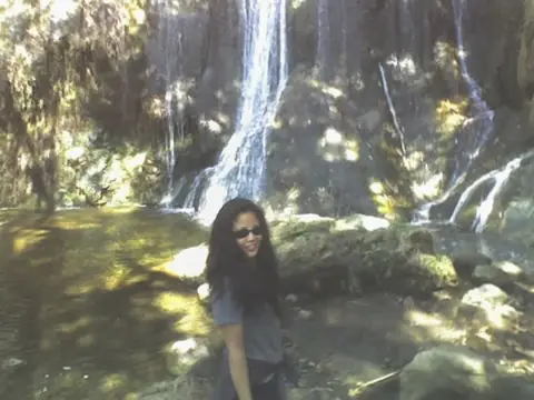
About Bonita Falls
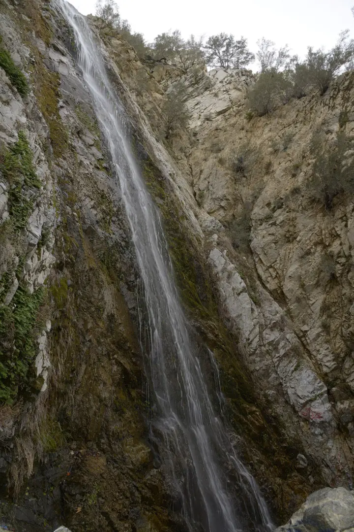
An unnamed tributary of South Fork Lytle Creek forms Bonita Falls, in the Front Country Ranger District of the San Bernardino National Forest. Wikipedia gives the lower falls as roughly 370 or 400 feet. Counting two poorly documented upper drops, the total may reach 495 feet.
We found no official height from the Forest Service or USGS, so treat the Wikipedia figures as estimates.
According to Wikipedia, you can see the upper tier from Bonita Ranch Campground, but that access is on private property.
Rockfall and recent closures
On July 24, 2026, the Forest Service posted a safety alert reminding visitors to use extra caution at Bonita Falls. It warns that rockfalls can happen without warning on the steep canyon route to the falls. The alert runs through December 31, 2026.
The site has seen cleanup and construction in recent years. Volunteers and the Forest Service held a graffiti and litter cleanup at the falls on April 13, 2019. In 2024 the Forest Service closed the Bonita Falls Day Use Area for improvements funded by the Great American Outdoors Act.
Getting there and parking
Bonita Falls is reached from Lytle Creek Road, with parking at an unsigned turnout about a mile past the ranger station, per Wikipedia.
Lytle Creek Road and the turnout
Bonita Falls is reached from Lytle Creek Road. Wikipedia says parking is at an unsigned turnout and day-use area about a mile past the ranger station, and that it fills early on summer weekends.
City News Group reported in January 2024 that the project would add parking areas, permanent restrooms, kiosks and guard rails along about 0.7 mile of Lytle Creek Road. The day-use area was to stay closed through May 31, 2024. We found no notice that the work or the restrooms were finished, so plan as if there are none and ask the ranger district.
Adventure Pass
Wikipedia says you need an Adventure Pass to park here; we found no Forest Service page that says so for this turnout. Under the San Bernardino National Forest's 2026-2028 price list, a day pass is $5 and an annual pass $30. America the Beautiful passes also count wherever the Adventure Pass is required.
Bring all the drinking water you need from home. For current conditions, call the Front Country Ranger District at 909-382-2851.
Camping near Bonita Falls
There's no camping at the falls turnout. The nearest Forest Service campground we found is Applewhite Campground in Lytle Creek, booked through Recreation.gov.
Recreation.gov describes dozens of single-family sites, mostly for tents, with some accepting RVs or campers without hookups. Sites have a table and a fire ring with a grill, and the campground has flush toilets and water spigots.
Each site takes up to 8 people and 2 vehicles, and an extra vehicle costs $5. There are no hookups or dump station, and pets must be leashed. Recreation.gov gives no season, so check that the campground is open before you book.
Bonita Ranch Campground, where Wikipedia says you can see the upper tier, is private. Contact it directly about rates and access.
Map and nearby falls
Map loads as you scroll. Open in OpenStreetMap
OpenPartly open / seasonalUnconfirmedClosedLarger map
The route up the Lytle Creek wash
The route isn't a signed trail. Wikipedia describes walking about three-quarters of a mile up the South Fork Lytle Creek wash, then taking a side trail to the falls. That makes roughly 1.5 miles round trip.
No agency publishes a distance, time or difficulty rating for the walk. Because the route is unmarked, note landmarks on the way in so you can find the side trail and the wash on the way back.
We found no official dog rule or trail surface details for the route. It isn't wheelchair accessible.
When to visit
We found no official best season for Bonita Falls. The area is open year-round, subject to closures, and Wikipedia notes that parking fills early on summer weekends.
The Forest Service rockfall alert runs through December 31, 2026. It doesn't close the site, but it is a reason to keep visits at the base short.
The San Bernardino National Forest's Waterways Closure order, #05-12-00-26-03, applied April 3 through October 31, 2026, and has ended. It covered City Creek, Schenk Creek, the North Fork San Jacinto River and Fuller Mill Creek, not Lytle Creek.
A separate Line Fire road and trail closure ran from February 11 to September 30, 2026, and has expired. For a forest falls with trailhead restrooms and drinking water, consider Sturtevant Falls above Arcadia. Switzer Falls, off SR-2 in the Angeles National Forest, also needs an Adventure Pass or America the Beautiful pass to park.
| Height | 400 ftNote: lower falls, per Wikipedia, which gives roughly 370 or 400 ft and up to 495 ft with two upper drops |
|---|---|
| Trail | About 3/4 mi each way up the South Fork Lytle Creek wash, then a side trail; unmarked route with no agency figure (Wikipedia) |
| Entry fee | Adventure Pass ($5 day, $30 annual) or America the Beautiful pass to park along Lytle Creek Road (Wikipedia; prices per the Forest Service) |
| Permit / reservation | No permit; an Adventure Pass is needed to park |
| Parking | Lytle Creek Road turnout |
| Dogs | No rule found for the route; Recreation.gov requires pets to be leashed at nearby Applewhite Campground |
| Swimming | No official swimming rule found |
| Wheelchair / stroller | No |
| Walk behind the falls | No |
| Restrooms | Not confirmed; the 2024 day-use project planned permanent restrooms, but we found no notice that they opened |
| Crowds | Parking fills early on summer weekends (Wikipedia) |
| Managed by | USDA Forest Service, San Bernardino National Forest (Front Country Ranger District) |
Safety and swimming
Rockfall is a known hazard here. The Forest Service alert asks visitors to stay alert and avoid standing directly beneath cliff faces. It also says to keep a safe distance from unstable slopes.
In June 2026, a 52-year-old Redlands hiker was killed by a falling rock near the falls, the Victorville Daily Press reported. Do not stand or rest under the cliffs, and do not climb the rock beside the falls.
We could not find an official swimming rule. Expect slick rock near the water and uneven footing in the wash, keep children close, and bring more water than you think you need.
For general tips, see our waterfall safety page.
Where to stay near Bonita Falls
Compare hotels, cabins and rentals close to the falls around Lytle Creek.
See places to stay nearbyAffiliate link: we may earn a commission at no cost to you. Partners do not see or change our waterfall facts. Disclosure.
Photos


Bonita Falls FAQ
Is Bonita Falls open?
Yes, with a rockfall warning. A Forest Service safety alert about falling rocks runs from July 24 to December 31, 2026, but it is a caution, not a closure. Call the Front Country Ranger District at 909-382-2851 or check San Bernardino National Forest alerts before you go.
Where is Bonita Falls?
In Lytle Creek Canyon in the San Bernardino National Forest. Wikipedia says you park at an unsigned turnout on Lytle Creek Road, about a mile past the ranger station.
Is Bonita Falls safe?
Not without risk. The Forest Service warns that rockfalls can happen without warning on the steep canyon route. A hiker was killed by a falling rock near the falls in June 2026, the Victorville Daily Press reported.
How long is the hike to Bonita Falls?
About three-quarters of a mile each way up the South Fork Lytle Creek wash on an unmarked route, according to Wikipedia. That's roughly 1.5 miles round trip.
Do I need an Adventure Pass for Bonita Falls?
Wikipedia says yes, to park along Lytle Creek Road in the national forest. The pass costs $5 a day or $30 a year, and America the Beautiful passes are accepted in its place.
How tall is Bonita Falls?
Wikipedia puts the lower falls at roughly 370 to 400 feet, and up to about 495 feet if two upper drops are counted. We found no official height.
Can you camp near Bonita Falls?
Not at the falls turnout. The nearest Forest Service campground we found is Applewhite in Lytle Creek, reservable on Recreation.gov, with tent sites and no hookups; check that it's open first. Bonita Ranch Campground is private; Wikipedia says the upper tier is visible from it, but that access crosses private land.
Are dogs allowed at Bonita Falls?
We found no dog rule for the Bonita Falls route. Recreation.gov requires pets to be leashed at nearby Applewhite Campground. Keep dogs leashed and away from the cliff base.
Nearby waterfalls
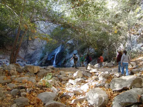 Sturtevant Falls29 mi straight-lineOpen55FT
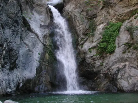 Eaton Canyon Falls34 mi straight-lineClosed50FT
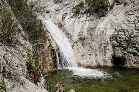 Switzer Falls37 mi straight-lineOpen50FT
 Escondido Falls74 mi straight-lineOpen150FT
City guides: Waterfalls near Los Angeles, CA
Sources
Some facts credited to the Forest Service come from search-result excerpts of its official pages. Confirm fees and rules on the official site.
- USDA Forest Service San Bernardino NF: Passes (archived Apr 7, 2026)
- USDA Forest Service Region 5: Adventure Pass (archived Apr 14, 2026)
- USFS SBNF: Alerts (archived Jul 8, 2026)
- City News Group: Bonita Falls Day Use Area closed for improvements (Jan 2024)
- Victorville Daily Press via AOL: Bonita Falls rockfall warning (July 28, 2026)
- Wikipedia: Bonita Falls
- Wikimedia Commons: Graffiti cleanup at Bonita Falls (2019)
- USGS GNIS (National Map geonames)
- USDA Forest Service: SBNF Waterways Closure, Forest Order 05-12-00-26-03 (archived Jun 17, 2026)
- USDA Forest Service SBNF: Safety alert, falling rocks at Bonita Falls (Jul 24-Dec 31, 2026; read Oct 28, 2026)
- Recreation.gov: Applewhite Campground

Last verified Oct 28, 2026 by The Waterfall Guide editorial team. Conditions change: confirm with USDA Forest Service, San Bernardino National Forest (Front Country Ranger District) before you go. Spotted something out of date? Report a correction.