Right now
Right now as of Nov 13, 2026
- Permit Vehicle admission sticker.
Status note (Nov 13, 2026): Open, as far as we can tell (checked Nov 13, 2026). The Wisconsin DNR conditions page showed no notices that day. DNR pages disagree on whether part of the Doughboys trail closes in winter, so call 715-274-5123. What the status labels mean
Copper Falls State Park is about two miles northeast of Mellen, per the Wisconsin DNR. The 1.7-mile Doughboys Nature Trail has overlooks of Copper Falls, Brownstone Falls and the Tyler Forks cascades. Pets are not allowed on that trail. A vehicle sticker is required, and the park is open 6 a.m. to 11 p.m. year-round.
About Copper Falls
Copper Falls State Park is in Ashland County, about two miles northeast of Mellen, per the Wisconsin DNR. This page covers Copper Falls and Brownstone Falls.
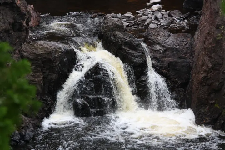
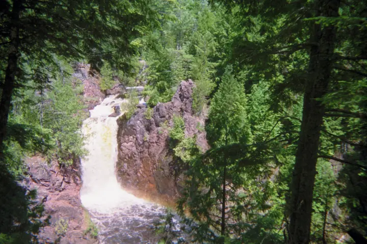
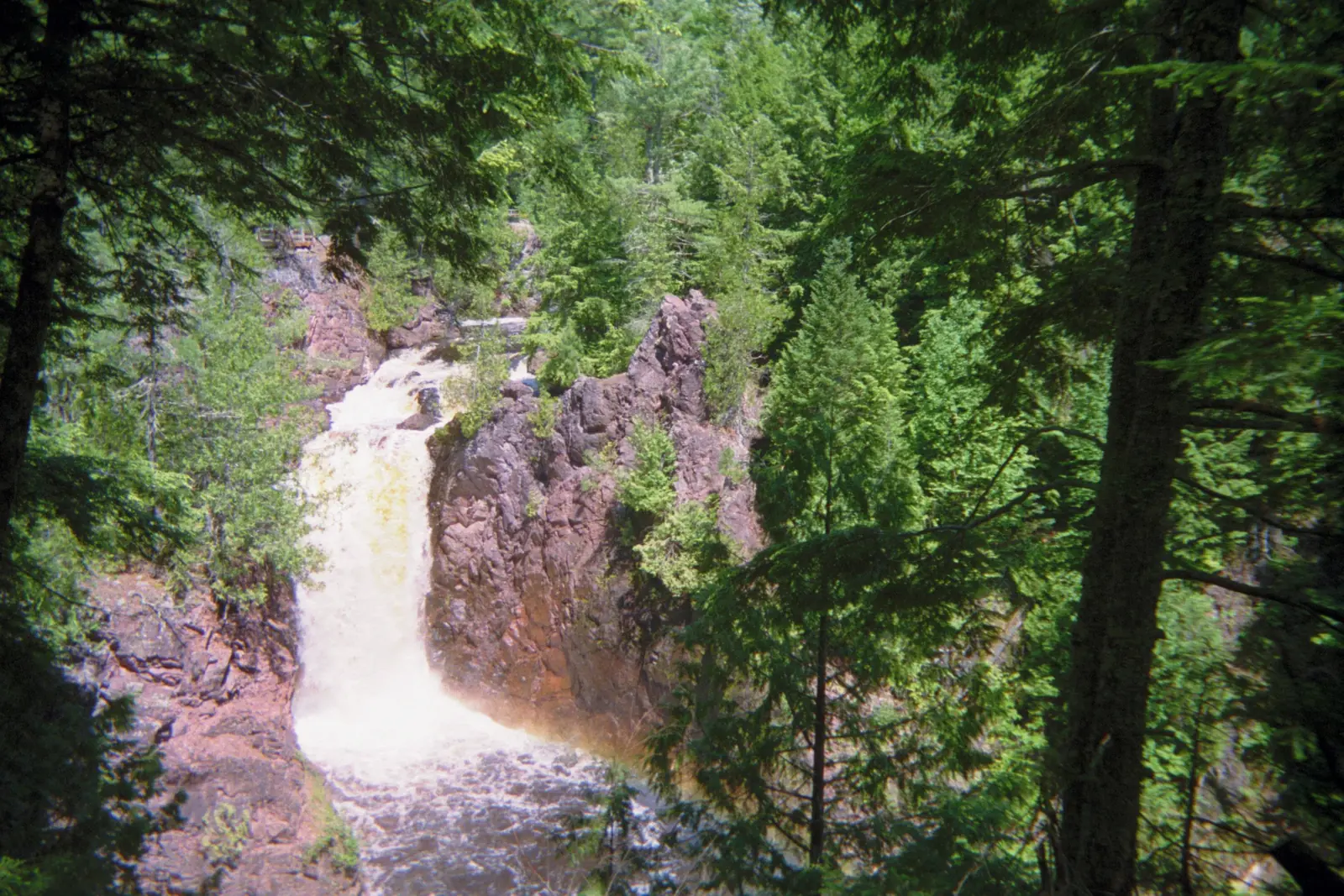
Copper Falls is on the Bad River. The DNR geology page calls it a "29-foot" falls.
Brownstone Falls drops into the Tyler Forks River, per Travel Wisconsin. No DNR page we read gives its height.
Travel Wisconsin says "the falls drop 30 feet into the Tyler Forks River." Treat that as a rough guide, not an official measurement.
Travel Wisconsin also gives "60 to 100 feet," but that figure describes the gorge walls, not the falls.
Geology of the falls
The DNR says lava flows built up rock layers as much as 60,000 feet thick. Over the last 200 million years, the Bad River and Tyler Forks have cut through that rock.
Glaciers later left boulders and red clay, per the DNR. It says old Lake Superior beach lines can still be found in the park.
Park history
"Copper Falls State Park was created in 1929," the DNR history page says. Much of it was developed by the Civilian Conservation Corps (CCC) and the Works Progress Administration (WPA).
The DNR says Tyler Forks is named for John Tyler, a ship captain and surveyor.
About our map pin
Our map pin is the USGS GNIS place-name point for Copper Falls (feature ID 1579041), in Ashland County. These points mark where a named feature sits on federal maps.
Brownstone Falls has its own GNIS point (feature ID 1562276) at 46.376347, -90.641024. By our math, that is roughly a quarter mile north of the Copper Falls point.
For more falls in the region, see Amnicon Falls, Big Manitou Falls and Willow Falls.
Getting there and parking
The Wisconsin DNR lists the park at 36764 Copper Falls Road, Mellen, WI 54546. It puts the park about two miles northeast of Mellen.
The DNR says the Doughboys Nature Trail starts near the concession building. The DNR pages we read give no other parking details.
Fees
"A vehicle admission sticker is required," the DNR says. Its rates took effect Aug 19, 2025.
- Wisconsin plates: $13 a day or $28 for 12 months.
- Wisconsin seniors 65 and older: $3 a day or $13 for 12 months.
- Out-of-state plates: $16 a day or $50 for 12 months.
The DNR lists $15.50 a year for an extra household vehicle with Wisconsin plates, or $32.50 out of state. It says the sticker must be attached to the inside driver's side of the windshield.
Hours
The DNR says the park is open year-round from 6 a.m. to 11 p.m.
Contact
The DNR lists the park phone as 715-274-5123. Its call center is 1-888-936-7463, from 7 a.m. to 10 p.m.
Map and nearby falls
Map loads as you scroll. Open in OpenStreetMap
OpenPartly open / seasonalUnconfirmedClosedLarger map
Copper Falls State Park trails: the Doughboys loop and Red Granite Falls
The Doughboys Nature Trail is the main way to see the falls. The DNR calls it a 1.7-mile loop from near the concession building, along the Bad River and Tyler Forks.
It has overlooks of Copper Falls, Brownstone Falls and the Tyler Forks cascades, per the DNR. The loop includes rock stairs, and the DNR gives no difficulty rating.
Accessible section
About 0.5 mile of the Doughboys trail is universally accessible, per the DNR. It has a crushed granite surface and an overlook of Copper Falls.
This section also reaches the historic CCC bridge over the Tyler Forks cascades. "Please call the property for conditions and usability," the DNR adds.
Other trails
The DNR says the North Country Trail runs more than 4 miles through the park. The CCC 692 Trail is a 1-mile spur to an observation tower.
Dogs
"Pets are not allowed on the Doughboys Nature trail," the DNR says. The DNR adds that no trail lets you see Copper and Brownstone Falls with a pet.
The 2.5-mile Red Granite Falls Trail is the waterfall trail open to leashed pets, per the DNR. Statewide rules require a physical leash no longer than 8 feet.
The DNR lists a pet area next to the main picnic area, with Bad River water access. Pets are not allowed in buildings or on beaches, except pet swim areas.
For another waterfall in the region, see Bond Falls in Michigan's Upper Peninsula.
When to visit
No official source we read names a best month for the falls. The DNR says the park is open year-round, from 6 a.m. to 11 p.m.
Winter
Two DNR pages disagree about winter on the Doughboys trail. The hiking page says a portion closes in winter, as ice and snow make the rock stairs very slippery.
The winter page says the Doughboys trail is "not maintained during winter but is open." Call the park at 715-274-5123 to confirm before a winter visit.
The DNR lists snowshoeing on the Doughboys and Red Granite Falls trails, with snowshoe rentals at the office. It says groomed ski trails are closed to hikers and pets.
The Red Granite Falls Trail is the only trail open to pets in winter, per the DNR.
Status checks
On Nov 13, 2026, the DNR conditions page showed no notices. An earlier version of the DNR conditions page, seen in search results, listed an Oct 12 to 16, 2026 closure on part of the Doughboys trail.
That closure was for Tyler Forks Bridge repairs, and its dates have passed. Check the conditions page or call the park before you go.
| Height | 29 ftNote: 29 ft is the Wisconsin DNR figure for Copper Falls. The DNR gives no height for Brownstone Falls. Travel Wisconsin gives Brownstone 30 ft. |
|---|---|
| Trail | The Doughboys Nature Trail is a 1.7-mile loop with overlooks of Copper Falls, Brownstone Falls and the Tyler Forks cascades, per the Wisconsin DNR. It includes rock stairs. About 0.5 mile is universally accessible. |
| Difficulty | No official rating. The Wisconsin DNR says the Doughboys loop includes rock stairs, and about 0.5 mile is universally accessible. |
| Entry fee | A vehicle admission sticker is required, per the Wisconsin DNR. Its rates took effect Aug 19, 2025. Wisconsin plates pay $13 a day or $28 for 12 months. Out-of-state plates pay $16 a day or $50 for 12 months. |
| Permit / reservation | Vehicle admission sticker required, per the Wisconsin DNR. |
| Parking | Park address: 36764 Copper Falls Road, Mellen (Wisconsin DNR) |
| Dogs | The Wisconsin DNR says pets are not allowed on the Doughboys Nature Trail, so you cannot see Copper or Brownstone Falls with a pet. The 2.5-mile Red Granite Falls Trail is open to leashed pets. |
| Swimming | The Wisconsin DNR lists a 300-foot sand beach at Loon Lake for swimming, with no lifeguards on duty. We found no published DNR rule about the falls or the Bad River. |
| Wheelchair / stroller | About 0.5 mile of the Doughboys Nature Trail is universally accessible, per the Wisconsin DNR. It has a crushed granite surface, a Copper Falls overlook and the CCC bridge. The DNR says to call the park for conditions and usability. |
| Best time to visit | No official best month. The Wisconsin DNR says the park is open year-round from 6 a.m. to 11 p.m. |
| Crowds | No official visitor figure found. |
| Managed by | Wisconsin DNR, State Park System (Copper Falls State Park) |
Safety and swimming
The DNR lists a 300-foot sand beach at Loon Lake as the park's swim area. It says no lifeguards are on duty.
We found no published DNR rule about swimming at the falls or in the Bad River. The DNR hiking page warns that the rock stairs get very slippery with ice and snow.
Stay on marked trails and overlooks, and watch children closely near the gorge.
In an emergency, call 911. Our waterfall safety guide has more on staying safe near falls.
Conditions change: confirm with the official source before you go.
Where to stay near Copper Falls
Compare hotels, cabins and rentals close to the falls around Mellen.
See places to stay nearbyAffiliate link: we may earn a commission at no cost to you. Partners do not see or change our waterfall facts. Disclosure.
Photos
Copper Falls FAQ
Is Copper Falls State Park open now?
As far as we can tell, yes (checked Nov 13, 2026). The Wisconsin DNR conditions page showed no notices that day. The park is open year-round from 6 a.m. to 11 p.m.
How tall is Copper Falls?
The Wisconsin DNR geology page calls Copper Falls a 29-foot falls. The DNR gives no height for Brownstone Falls. Travel Wisconsin says Brownstone Falls drops 30 feet.
How long is the hike to Copper Falls and Brownstone Falls?
The Doughboys Nature Trail is a 1.7-mile loop with overlooks of both falls, per the DNR. It includes rock stairs. About 0.5 mile is universally accessible, with a Copper Falls overlook.
Are dogs allowed at Copper Falls?
Not on the Doughboys Nature Trail, which is the trail to both falls, per the DNR. Leashed pets can use the 2.5-mile Red Granite Falls Trail instead.
How much does Copper Falls State Park cost?
A vehicle admission sticker is required, per the Wisconsin DNR. Rates effective Aug 19, 2025 are $13 a day for Wisconsin plates and $16 a day for out-of-state plates.
Can you swim at Copper Falls State Park?
The DNR lists a 300-foot sand beach at Loon Lake for swimming, with no lifeguards on duty. We found no published DNR rule about the falls or the Bad River.
Nearby waterfalls
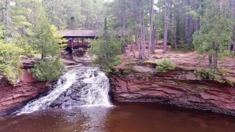 Amnicon Falls62 mi straight-line, by our mathOpen
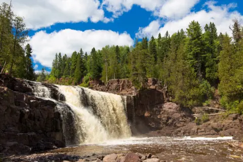 Gooseberry Falls66 mi straight-line, by our mathOpen
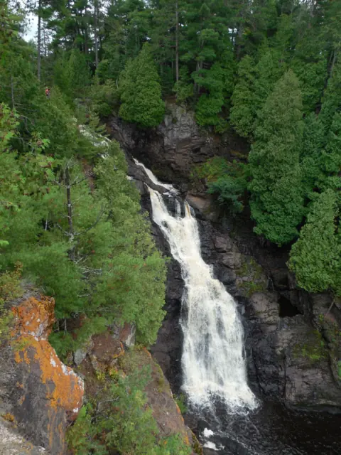 Big Manitou Falls71 mi straight-line, by our mathOpen165FT
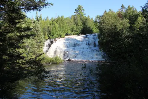 Bond Falls72 mi straight-line, by our mathSeasonal50FT
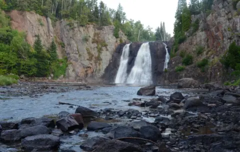 High Falls73 mi straight-line, by our mathPartly open63FT
City guides: Waterfalls near Duluth, MN
Sources
- Wisconsin DNR: Copper Falls State Park (read Nov 13, 2026; no updated date shown)
- Wisconsin DNR: Copper Falls park information (address, phone, hours; read Nov 13, 2026)
- Wisconsin DNR: Copper Falls current conditions (no notices shown; read Nov 13, 2026)
- Wisconsin DNR: Copper Falls hiking (Doughboys, Red Granite Falls, pet rule, winter closure note; read Nov 13, 2026)
- Wisconsin DNR: Copper Falls recreation (read Nov 13, 2026)
- Wisconsin DNR: Copper Falls water recreation (Loon Lake beach; read Nov 13, 2026)
- Wisconsin DNR: Copper Falls winter recreation (read Nov 13, 2026)
- Wisconsin DNR: Copper Falls geology (29-foot Copper Falls; read Nov 13, 2026)
- Wisconsin DNR: Copper Falls history (read Nov 13, 2026)
- Wisconsin DNR: State park admission rates (effective Aug 19, 2025; read Nov 13, 2026)
- Wisconsin DNR: State park pet rules (read Nov 13, 2026)
- Travel Wisconsin: Brownstone Falls (30-foot figure; read Nov 13, 2026; no date shown)
- USGS GNIS: Copper Falls, feature ID 1579041 (coordinates, Ashland County)
- USGS GNIS: Brownstone Falls, feature ID 1562276 (coordinates, Ashland County)
Last verified Nov 13, 2026 by The Waterfall Guide editorial team. Conditions change: confirm with Wisconsin DNR, State Park System (Copper Falls State Park) before you go. Spotted something out of date? Report a correction.