Right now
Right now as of Nov 13, 2026
- Status Partly open, as far as we can tell (checked Nov 13, 2026).
- Permit Vehicle permit.
Status note (Nov 13, 2026): Partly open, as far as we can tell (checked Nov 13, 2026). The MN DNR says everything on the inland side of Highway 61 is closed for a special hunt, Nov 7 to 22, 2026. The alert does not name the High Falls Trail, but the falls is upstream of the highway, so by our reading it is closed. Call 218-353-8800 before you go. What the status labels mean
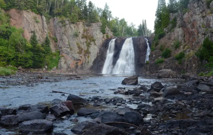
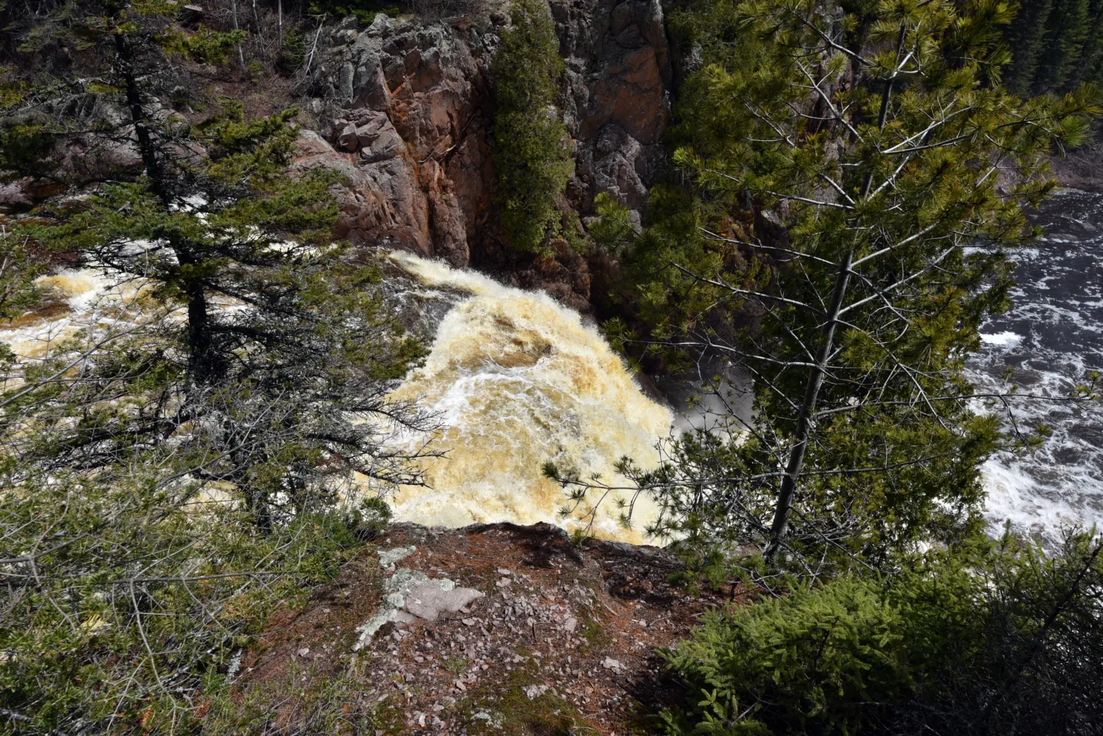
High Falls drops 63 feet on the Baptism River in Tettegouche State Park, per the MN DNR. The DNR calls it the highest waterfall completely within Minnesota. The High Falls Trail is 1.5 miles one-way from the visitor center. Through Nov 22, 2026, the DNR has closed the inland side of Highway 61 for a special hunt.
About High Falls
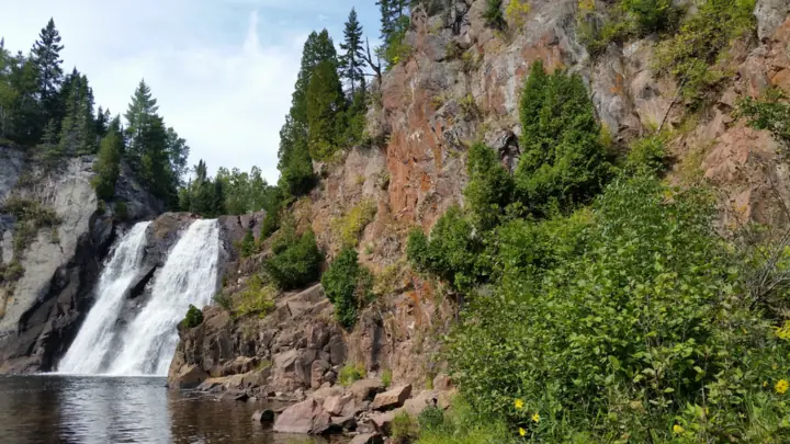
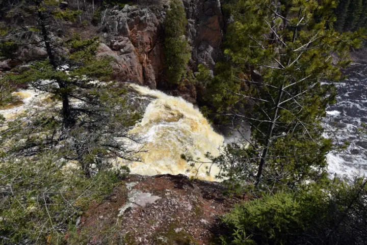
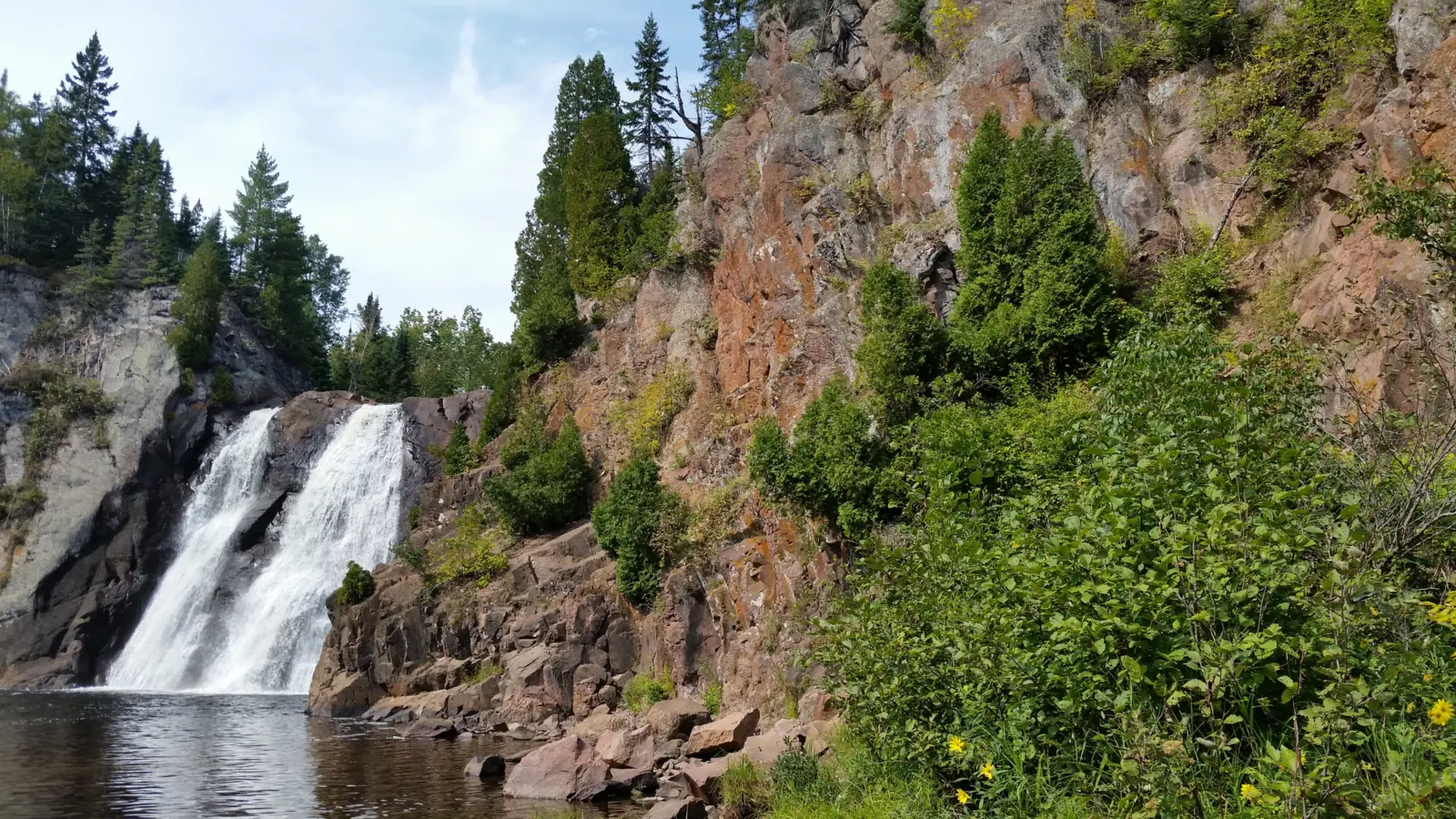
High Falls is on the Baptism River in Tettegouche State Park, in Lake County on Minnesota's North Shore. A Nov 24, 2025 MN DNR news release calls it "the 63-foot High Falls."
"See the highest waterfall completely within the boundaries of Minnesota," the DNR's 2025 park guide says. The DNR's Nov 24, 2025 news release puts its height at 63 feet.
Two falls named High Falls
Two Minnesota state parks have a falls named High Falls. The one at High Falls, Grand Portage is taller, at 120 feet per the DNR's Grand Portage guide, but the Pigeon River there forms the border with Ontario.
By our reading, that is why Tettegouche's falls carries the DNR's "completely within" wording. It is the tallest falls that sits entirely inside the state.
The new High Falls bridge
The DNR says a new pedestrian bridge opened on Nov 24, 2025, upstream of the falls. It is made of fiberglass polymer and cost $1.07 million.
The DNR says the new bridge sits 5 feet higher than the old one for flood resilience. That earlier bridge was built in 1988 and closed in 2022 after severe flood damage.
A 2024 flood then detached the old bridge fully on one side, per the DNR. The same release says Superior Hiking Trail hikers can cross the Baptism River again without a detour.
Geology and park history
The 2025 DNR guide says the Baptism River cleaves "a 1.1 billion year-old, rugged rhyolite ridge." It says the land was protected as a state park in 1979.
The DNR news release describes the park as more than 9,000 acres, about 5 miles north of Silver Bay. It lists Lake Superior shoreline, cliffs, inland lakes, rivers and northern hardwood forest.
About our map pin
We found no USGS GNIS record for this High Falls. Our pin uses the OpenStreetMap node named "High Falls" at 47.3511927, -91.2100012, upstream of Highway 61.
OpenStreetMap is a volunteer map, so treat the pin as close but not surveyed. Follow the park's trail signs rather than the dot on your phone.
Getting there and parking
The 2025 MN DNR guide lists the park at 5702 Highway 61 East, Silver Bay, MN 55614. The DNR news release puts it about 5 miles north of Silver Bay.
The guide's High Falls Trail starts at the visitor center. The DNR also says the High Falls trailhead parking lot reopened on Nov 24, 2025, after summer construction. It is closed for the special hunt through Nov 22, 2026, per the DNR alerts.
Vehicle permit
Vehicle permits are "required EXCEPT at the Tettegouche Visitor Center parking lot," the 2025 DNR guide says. You can buy one at the park office or entrance kiosk, it says.
Minn. Stat. 85.055 (2025 edition) sets the one-day permit at $7 and the year-round permit at $35. We found no 2026 change to those amounts.
Hours and contact
The park is open "daily from 8 a.m. until 10 p.m.," the DNR park page says. In winter, mid-October to mid-May, it says the visitor center is open weekdays from 7 a.m. to 4 p.m.
The park phone is 218-353-8800, per the DNR. For more stops on this shore, see Gooseberry Falls to the southwest and Devil's Kettle near Grand Marais.
Map and nearby falls
Map loads as you scroll. Open in OpenStreetMap
OpenPartly open / seasonalUnconfirmedClosedLarger map
The High Falls Trail at Tettegouche State Park
The 2025 DNR guide lists the High Falls Trail as "1.5 miles one-way" from the visitor center. By our math, the round trip is about 3 miles, since the guide says to take the same trail back.
The route goes from the visitor center to the mouth of the Baptism River, then up the river, per the guide. It lists steep terrain, wooden stairs, gravel and bare rock.
Two Step Falls
The guide says a side stairway leads to Two Step Falls along the way. The DNR does not give a height or stair count for it.
The DNR alerts (updated Nov 2, 2026) say "the bottom of the steps has washed out" at the High Falls and Two Step Falls viewing steps. It asks visitors to use caution.
Cascade Falls is closed
The DNR says the Cascade Trail was damaged by landslides after 2024 flooding. It is closed beyond the first half mile, and Cascade Falls is no longer accessible.
For another North Shore gorge walk, see Hidden Falls at Temperance River.
Dogs
The 2025 DNR guide says pets must be on a leash of 6 feet or less and attended at all times. Pick up after them, and keep them out of buildings.
When to visit
No official source we read names a best month for High Falls. The DNR says the park is open daily from 8 a.m. until 10 p.m.
November 2026 hunt closure
The DNR alerts, updated Nov 2, 2026, list a special firearm hunt in the park from Nov 7 to Nov 22, 2026.
During the hunt, everything on the inland side of Highway 61 is closed to all visitors except lottery hunt permit holders, the DNR says. That includes the Trailhead Parking lot and Baptism River campground.
The alert does not name the High Falls Trail. But the falls is upstream of Highway 61, so by our reading of the map it is inside the closed area.
The lake side stays open with no hunting, per the DNR. That covers the Visitor Center, the mouth of the Baptism River, Shovel Point and Palisade Head.
The DNR asks visitors to wear blaze orange or blaze pink during the hunt. Check the alerts or call 218-353-8800 before you plan a visit after Nov 22.
Winter
The 2025 DNR guide lists groomed ski trails and snowshoe rental at the visitor center. It says snowshoes can be used on any trail except groomed ski trails.
| Height | 63 ftNote: 63 feet, per a Nov 24, 2025 MN DNR news release. |
|---|---|
| Trail | The High Falls Trail is 1.5 miles one-way from the visitor center, per the 2025 MN DNR park guide. It runs to the mouth of the Baptism River, then up the river. The guide lists steep terrain, wooden stairs, gravel and bare rock, and says to take the same trail back. |
| Difficulty | No official rating. The 2025 MN DNR guide lists "Steep terrain", wooden stairs, gravel and bare rock. |
| Entry fee | A Minnesota state park vehicle permit is required, the 2025 MN DNR park guide says, "EXCEPT at the Tettegouche Visitor Center parking lot." Minn. Stat. 85.055 (2025) sets $7 for one day or $35 for a year. |
| Permit / reservation | Vehicle permit required, per the MN DNR, "EXCEPT at the Tettegouche Visitor Center parking lot." |
| Parking | Visitor Center lot; Trailhead lot closed to Nov 22, 2026 (MN DNR) |
| Dogs | The 2025 MN DNR guide says pets must be on a leash of 6 feet or less and attended at all times. You must pick up after them, and pets are not allowed in buildings. |
| Swimming | No official swimming rule for the falls. The 2025 MN DNR guide warns: "Swimming at the park can be dangerous." |
| Wheelchair / stroller | No official accessibility information found. The DNR guide lists steep terrain, wooden stairs, gravel and bare rock on the High Falls Trail. |
| Best time to visit | No official best month. The MN DNR says the park is open daily from 8 a.m. until 10 p.m. |
| Crowds | No official visitor figure found. |
| Managed by | Minnesota DNR, Parks and Trails (Tettegouche State Park) |
Safety and swimming
The DNR says the bottom of the High Falls and Two Step Falls viewing steps has washed out. It asks visitors to use caution in these areas.
The 2025 DNR guide warns of rugged and difficult terrain and cliffs. It says to wear good hiking shoes, stay on trails and keep small children close.
"Swimming at the park can be dangerous," the guide says. We found no official rule on swimming at the falls itself.
In an emergency, call 911. Our waterfall safety guide has more on staying safe near falls.
Conditions change: confirm with the official source before you go.
Where to stay near High Falls
Compare hotels, cabins and rentals close to the falls around Silver Bay.
See places to stay nearbyAffiliate link: we may earn a commission at no cost to you. Partners do not see or change our waterfall facts. Disclosure.
Photos


High Falls FAQ
Is High Falls at Tettegouche open now?
Probably not until the hunt ends, as far as we can tell (checked Nov 13, 2026). The MN DNR has closed the inland side of Highway 61 for a special hunt through Nov 22, 2026. The alert does not name the falls, but High Falls is upstream of the highway, so by our reading it is closed.
How tall is High Falls at Tettegouche State Park?
High Falls is 63 feet tall, per a Nov 24, 2025 MN DNR news release. The DNR calls it the highest waterfall completely within the boundaries of Minnesota.
Is Tettegouche's High Falls the tallest waterfall in Minnesota?
It is the tallest completely within Minnesota, per the DNR. High Falls at Grand Portage State Park is taller at 120 feet, but it sits on the Pigeon River border with Ontario.
How long is the hike to High Falls?
The 2025 DNR guide lists the High Falls Trail as 1.5 miles one-way from the visitor center, with steep terrain, wooden stairs, gravel and bare rock. By our math, that is about 3 miles round trip.
Do you need a permit to visit Tettegouche State Park?
The DNR says vehicle permits are "required EXCEPT at the Tettegouche Visitor Center parking lot." Minnesota law sets $7 for one day or $35 for a year-round permit.
Is the High Falls bridge at Tettegouche open?
The DNR says a new $1.07 million bridge upstream of the falls opened on Nov 24, 2025. It replaced the 1988 bridge, which closed in 2022 after flood damage. During the Nov 7 to 22, 2026 hunt, the bridge is on the closed inland side of Highway 61, by our reading of the map.
Nearby waterfalls
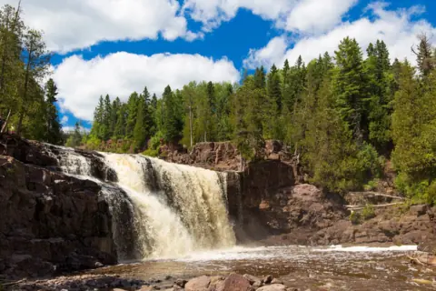 Gooseberry Falls19 mi straight-line, by our mathOpen
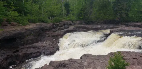 Hidden Falls21 mi straight-line, by our mathOpen
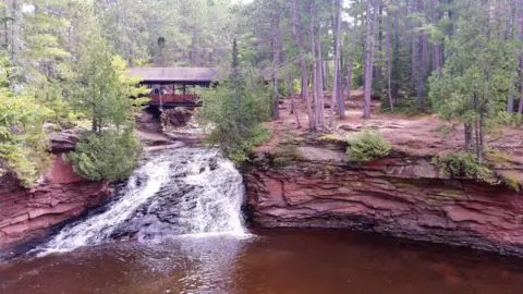 Amnicon Falls60 mi straight-line, by our mathOpen
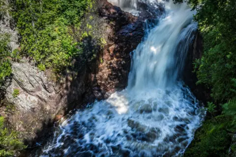 Devil's Kettle63 mi straight-line, by our mathOpen50FT
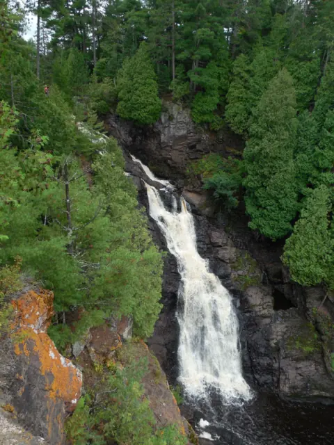 Big Manitou Falls71 mi straight-line, by our mathOpen165FT
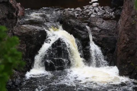 Copper Falls73 mi straight-line, by our mathOpen29FT
City guides: Waterfalls near Duluth, MN
Sources
- MN DNR: Tettegouche State Park (hours, contact, alerts updated Nov 2, 2026; read Nov 13, 2026)
- MN DNR news release: New High Falls pedestrian bridge opens (dated Nov 24, 2025; read Nov 13, 2026)
- MN DNR: Tettegouche State Park Map and Guide PDF (© 2025; trail, permit, pets, geology; read Nov 13, 2026)
- Minnesota Statutes 85.055: State park fees (2025 edition; read Nov 13, 2026)
- MN DNR: Grand Portage State Park Map and Guide PDF (© 2026; 120-foot High Falls on the Ontario border; read Nov 13, 2026)
- OpenStreetMap: High Falls node, 47.3511927, -91.2100012 (map pin; read Nov 13, 2026)
Last verified Nov 13, 2026 by The Waterfall Guide editorial team. Conditions change: confirm with Minnesota DNR, Parks and Trails (Tettegouche State Park) before you go. Spotted something out of date? Report a correction.