Right now
Right now as of Nov 13, 2026
- Permit Vehicle permit.
Status note (Nov 13, 2026): Open, as far as we can tell (checked Nov 13, 2026). The DNR alerts, last updated July 13, 2026, list no gorge or trail closure. What the status labels mean
Hidden Falls is in Temperance River State Park, at 7620 Highway 61 in Schroeder, per the Minnesota DNR. A 0.25-mile Gorge Trail starts at the Highway 61 lot, and a paved stretch leads to a viewing deck. A vehicle permit is required. The park is open 8 a.m. to 10 p.m. daily.
About Hidden Falls
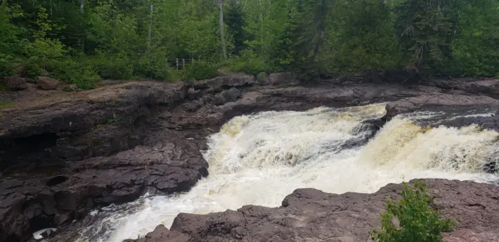
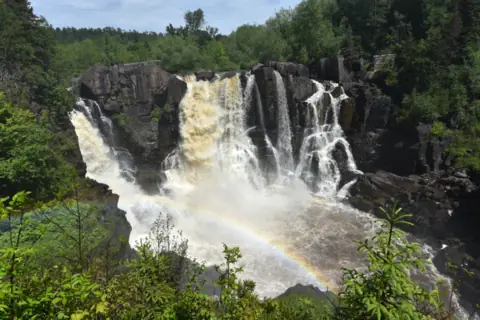
Hidden Falls is a waterfall in the Temperance River gorge, inside Temperance River State Park on Minnesota's North Shore. The Minnesota DNR park map and guide lists the park at 7620 Highway 61, Schroeder, in Cook County.
The guide says a paved trail from the Highway 61 lot leads to "a deck with a view of Hidden Falls." It is the falls closest to the Highway 61 lot, by our reading of the guide's trail description.
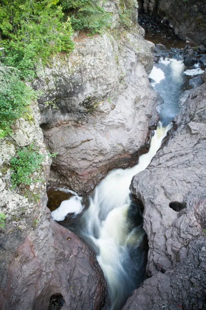
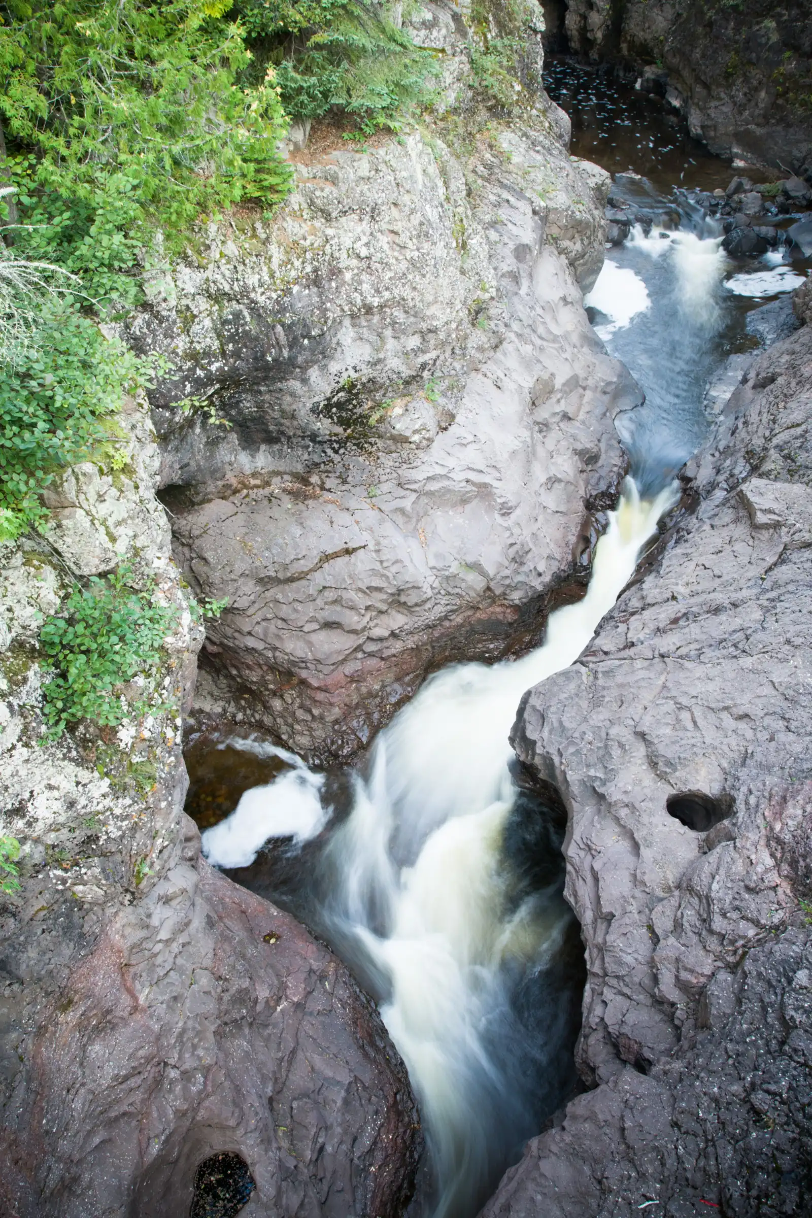
"This 1.1 billion year-old landscape became a state park in 1957," the guide says. It describes the gorge as "a crack in the earth."
How tall is Hidden Falls?
No DNR source we read gives a height for Hidden Falls. We found no other official figure, so we leave the height blank rather than guess.
The river has more falls upstream. The guide's Upper Falls route runs 1 mile one-way and passes Hidden Falls on the way.
About our map pin
Our map pin is the USGS GNIS point for Hidden Falls (feature ID 656579), at 47.556577, -90.874324 in Cook County. By our reading, the point sits just upstream of the river mouth, inside the park.
The OpenStreetMap node for Hidden Falls sits about 30 meters from the GNIS point, by our math. The two sources agree on the spot.
For more North Shore falls, see Gooseberry Falls to the southwest and Devil's Kettle to the northeast.
Getting there and parking
The DNR park map and guide lists Temperance River State Park at 7620 Highway 61, Schroeder, MN 55613. Hidden Falls is reached from the Highway 61 parking lot on the northeast side of the river.
Vehicle permit
"Permits required; purchase at park office," the guide says. Minnesota Statutes 85.055 (2025 edition) sets the one-day permit at $7 and the annual permit at $35.
The same statute sets a second-vehicle annual permit at $26. In an undated search excerpt, the Star Tribune reported that proposed increases to $10 a day and $45 a year were not approved. We found no enacted change for 2026.
Hours
The guide says the park is open "8 a.m. to 10 p.m. daily." That guide carries a 2026 copyright line.
Contact
The DNR lists the park phone as 218-663-3102. The guide says campsites can be reserved at 866-857-2757.
Southwest toward Silver Bay, see High Falls in Tettegouche State Park. Farther northeast, see High Falls in Grand Portage State Park.
Map and nearby falls
Map loads as you scroll. Open in OpenStreetMap
OpenPartly open / seasonalUnconfirmedClosedLarger map
Temperance River State Park trails: the Gorge Trail to Hidden Falls
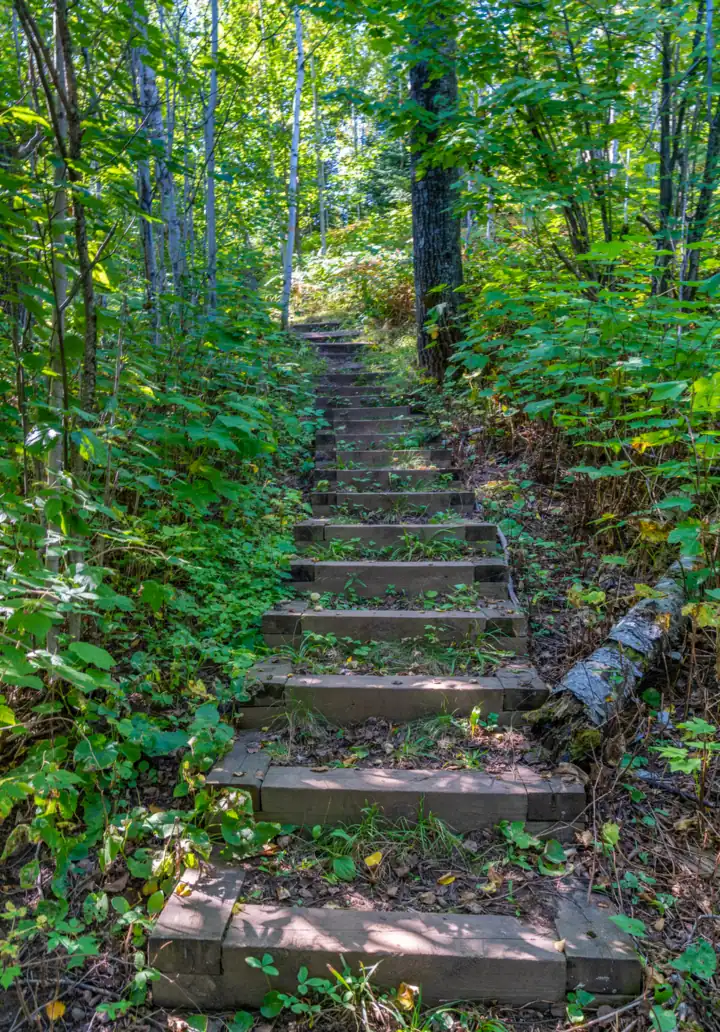
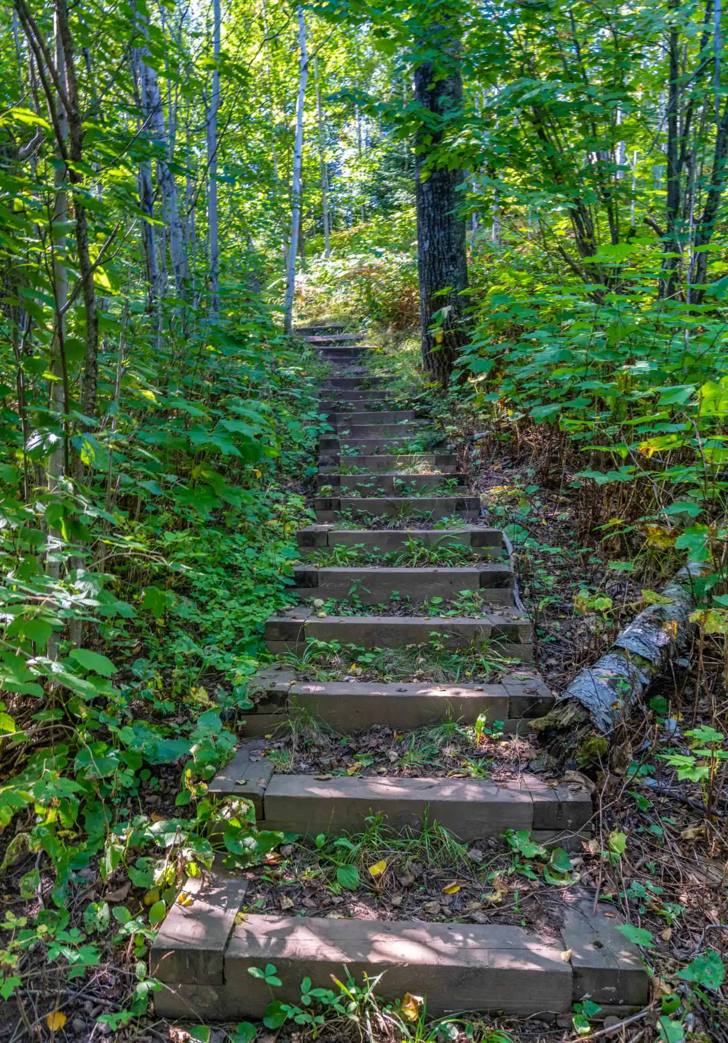
The Temperance River Gorge Trail is 0.25 miles one-way, per the DNR park map and guide. It lists the surface as hilly, bare rock, packed dirt and stairs.
From the Highway 61 lot on the northeast side, the guide says to "follow a paved trail to a deck with a view of Hidden Falls." After the deck, the trail turns to gravel and rock stairs.
By our math, walking the whole Gorge Trail and back is about 0.5 mile.
Longer hikes from the gorge
The Upper Falls trail, on the west side, is 1 mile one-way via Hidden Falls, the guide says. It includes stairs. By our math, that is about 2 miles round trip.
The guide lists Carlton Peak as 3 miles one-way. A 0.4-mile paved spur of the Gitchi-Gami State Trail crosses the gorge on a bridge.
The DNR alerts, updated July 13, 2026, say Carlton Peak Road (Forest Service Road 1201) "is severely washed out." That includes the park's day use area at the peaks.
"The road remains open but drive with extreme caution," the DNR says. That notice is about four months old, so ask the park about the road first.
Accessibility
The guide says only the first stretch to the Hidden Falls deck is paved. It makes no wheelchair claim, and we found no official accessibility rating.
Dogs
The guide says pets must be on a leash no longer than 6 feet. They are "not allowed in buildings or at beaches."
Fishing
The guide bans treble hooks in the river downstream of Highway 61.
When to visit
No official source we read names a best month for Hidden Falls. The DNR park map and guide says the park is open 8 a.m. to 10 p.m. daily.
Winter
In winter, the guide says you can ski and snowshoe in the park. It also points snowmobilers to the North Shore State Trail.
"There is no potable water available in the park over the winter months," the DNR alerts say. Bring your own drinking water.
The guide does not say whether the Gorge Trail is kept clear of snow. Rock stairs can ice over, so ask the park before a winter visit.
Checking status
On Nov 13, 2026, the DNR alerts listed no closure for the gorge, Hidden Falls or the park trails. Those alerts were last updated July 13, 2026, about four months earlier.
Call the park at 218-663-3102 before you go to ask about closures.
| Trail | The Temperance River Gorge Trail is 0.25 miles one-way, per the Minnesota DNR park map and guide. A paved stretch from the Highway 61 lot leads to a deck with a view of Hidden Falls. Gravel and rock stairs follow. |
|---|---|
| Difficulty | No official rating. The DNR guide lists the Gorge Trail surface as hilly, bare rock, packed dirt and stairs. |
| Entry fee | A Minnesota state park vehicle permit is required, per the DNR park map and guide. Minn. Stat. 85.055 (2025 edition) sets it at $7 for one day or $35 for a year. |
| Permit / reservation | Vehicle permit required; buy it at the park office, per the Minnesota DNR park map and guide. |
| Parking | Highway 61 lot, northeast side of the river (MN DNR) |
| Dogs | Pets must be on a leash no longer than 6 feet, per the DNR park map and guide. They are not allowed in buildings or at beaches. |
| Swimming | The DNR park map and guide says not to swim in the Temperance River because of dangerous and unpredictable river currents. |
| Wheelchair / stroller | No official accessibility rating found. The DNR guide says a paved trail leads from the Highway 61 lot to the Hidden Falls viewing deck. Beyond it the trail turns to gravel and rock stairs. |
| Best time to visit | No official best month. The DNR park map and guide says the park is open 8 a.m. to 10 p.m. daily. |
| Crowds | No official visitor figure found. |
| Managed by | Minnesota DNR (Parks and Trails) |
Safety and swimming
"Do not swim in the Temperance River due to dangerous and unpredictable river currents," the DNR park map and guide says.
The guide urges caution along the gorge and says to keep small children close. It also warns that cell service may be spotty.
In an emergency, call 911. Our waterfall safety guide has more on staying safe near falls and gorges.
Conditions change: confirm with the official source before you go.
Where to stay near Hidden Falls
Compare hotels, cabins and rentals close to the falls around Schroeder.
See places to stay nearbyAffiliate link: we may earn a commission at no cost to you. Partners do not see or change our waterfall facts. Disclosure.
Photos


Hidden Falls FAQ
Is Temperance River State Park open now?
As far as we can tell, yes (checked Nov 13, 2026). The DNR alerts, last updated July 13, 2026, list no gorge or trail closure. The DNR guide lists hours of 8 a.m. to 10 p.m. daily.
Do you need a permit for Temperance River State Park?
Yes. The DNR park map and guide says vehicle permits are required and sold at the park office. Minn. Stat. 85.055 (2025 edition) sets them at $7 a day or $35 a year.
How long is the hike to Hidden Falls?
The Temperance River Gorge Trail is 0.25 miles one-way, per the DNR guide. A paved stretch from the Highway 61 lot reaches a deck with a view of Hidden Falls.
How tall is Hidden Falls?
We found no official height. The DNR park map and guide does not give one, so we do not publish a number.
Can you swim in the Temperance River?
No. The DNR guide says not to swim in the Temperance River because of dangerous and unpredictable river currents.
Are dogs allowed at Temperance River State Park?
Yes, on a leash no longer than 6 feet, per the DNR guide. Pets are not allowed in buildings or at beaches.
Nearby waterfalls
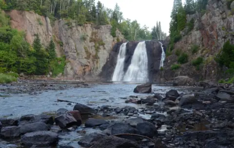 High Falls21 mi straight-line, by our mathPartly open63FT
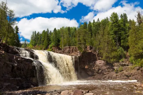 Gooseberry Falls40 mi straight-line, by our mathOpen
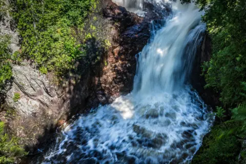 Devil's Kettle43 mi straight-line, by our mathOpen50FT
 High Falls67 mi straight-line, by our mathOpen120FT
City guides: Waterfalls near Duluth, MN
Sources
- Minnesota DNR: Temperance River State Park map and guide, PDF (printed © 2026; trails, hours, permit, address, phone, rules; read Nov 13, 2026)
- Minnesota DNR: Temperance River State Park (park page, modified Nov 11, 2026; read Nov 13, 2026)
- Minnesota DNR: Temperance River State Park alerts (updated July 13, 2026; read Nov 13, 2026)
- Minnesota Statutes 85.055: State park fees (2025 edition; read Nov 13, 2026)
- Star Tribune: Minnesota state park pass proposal (search excerpt, undated; read Nov 13, 2026)
- USGS GNIS: Hidden Falls, feature ID 656579 (coordinates, Cook County; queried Nov 13, 2026)
- OpenStreetMap: Hidden Falls node near the Temperance River mouth (read Nov 13, 2026)
Last verified Nov 13, 2026 by The Waterfall Guide editorial team. Conditions change: confirm with Minnesota DNR (Parks and Trails) before you go. Spotted something out of date? Report a correction.