Right now
Status note (Nov 11, 2026): Open, as far as we can tell. We found no closure notice on Nov 11, 2026, but no agency publishes a status page for the falls. The City of Dunsmuir lists Hedge Creek Falls among its local waterfalls. What the status labels mean
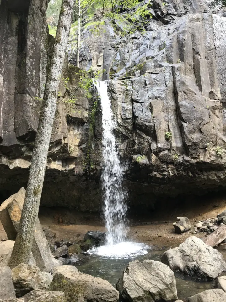
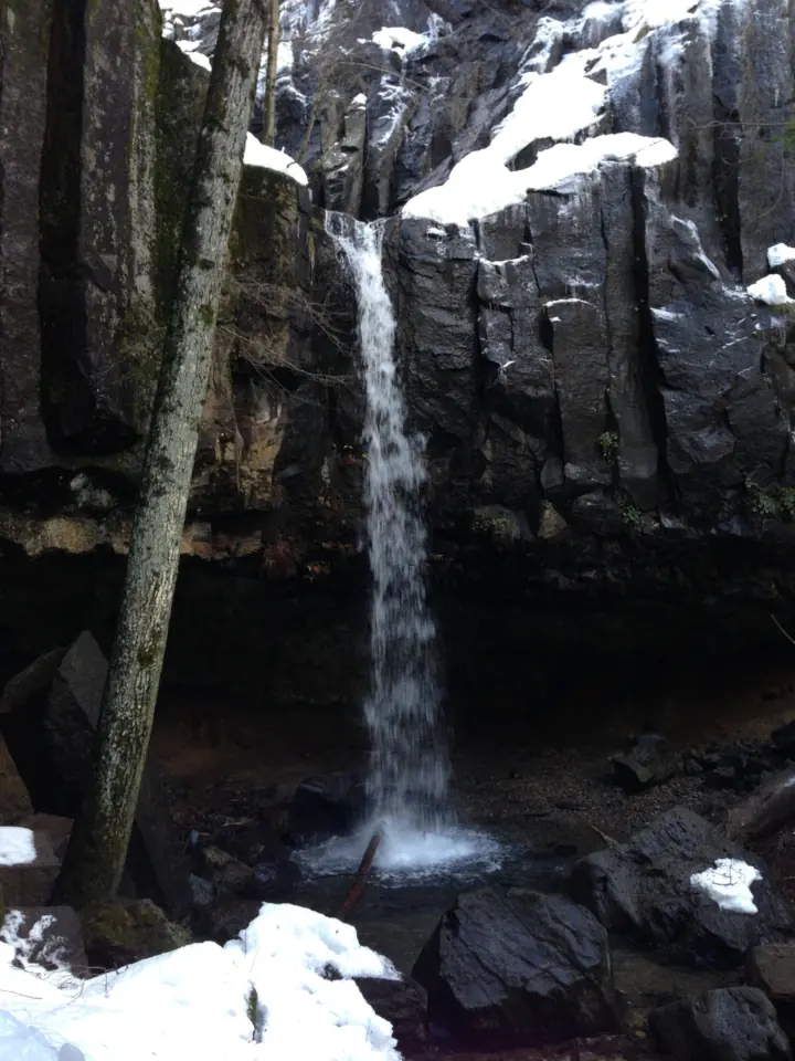
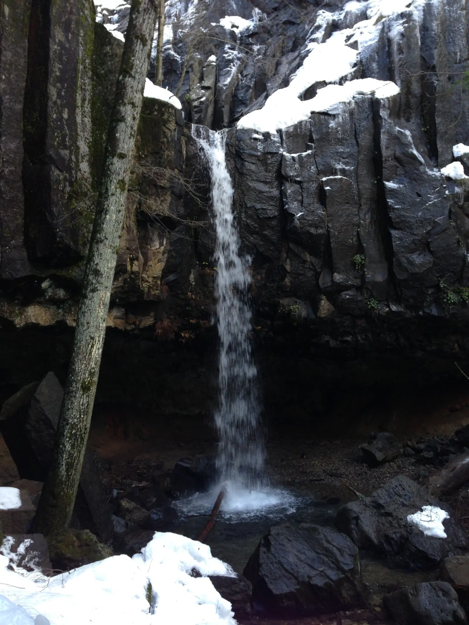
Hedge Creek Falls is a waterfall of about 35 feet over a basalt cliff in Dunsmuir, Siskiyou County, California, per the Dunsmuir Chamber of Commerce. The trailhead is at the I-5 Siskiyou Avenue exit. The Mount Shasta Trail Association lists the trail at 1 mile round trip, rated easy. The Dunsmuir Chamber and Discover Siskiyou describe a shallow cave behind the falls that lets you walk behind the water.
About Hedge Creek Falls
Hedge Creek Falls is in Dunsmuir, Siskiyou County. The Dunsmuir Chamber of Commerce calls it "A picturesque 35-foot waterfall that cascades over a basalt cliff into a serene pool below." Hedge Creek flows on to the Sacramento River, per Wikipedia.
The Chamber and Discover Siskiyou, a Siskiyou County tourism site, both describe a shallow cave behind the falls. They also note a viewing deck past the falls, with views of the Sacramento River and Mount Shasta.
Who runs it
We found no agency page for the falls. The Mount Shasta Trail Association lists the land agency as the City of Dunsmuir. A 2005 state environmental record names the City of Dunsmuir as lead agency for a Hedge Creek Falls trail project. The city's parks page names two parks it manages, and Hedge Creek is not one of them.
A planned link to Mossbrae Falls
In updates dated July and August 2025, the City of Dunsmuir said it was raising money for a trail from Hedge Creek Falls to Mossbrae Falls. The city said the Hedge Creek trail would grow by 0.6 mile, to one mile long. It had set no start date then. The city did not say whether that is one way or round trip.
The "Million Dollar Waterfall"
Wikipedia says early I-5 plans would have buried the falls. After local objections, the highway was moved farther into the hill at a cost of about $1 million, which gave the falls its nickname.
A Black Bart legend
Wikipedia says the stagecoach robber Black Bart held up a stage near Dunsmuir on Oct 25, 1879. It says evidence suggests he hid in the cave behind the falls first.
About our map pin
Our map pin is the OpenStreetMap point for Hedge Creek Falls (node 1047407241). USGS GNIS lists Hedge Creek as a stream but has no record for the falls.
For other Northern California falls, see Burney Falls and McCloud Falls, or browse all California waterfalls.
Getting there and parking
The Mount Shasta Trail Association says the trailhead is at the I-5 Siskiyou Avenue exit, about a mile north of central Dunsmuir. Discover Siskiyou lists the parking address as 506 Dunsmuir Ave, Dunsmuir, CA 96025.
Fees
We found no fee on the pages we read.
Contact
No agency lists a phone number for the falls. Dunsmuir City Hall, at 530-235-4822, can answer local questions, but we have not confirmed that the city runs the falls.
Map and nearby falls
Map loads as you scroll. Open in OpenStreetMap
OpenPartly open / seasonalUnconfirmedClosedLarger map
Hedge Creek Falls trail from the Siskiyou Avenue exit
The Mount Shasta Trail Association lists the trail at "1 mile (round trip)" with 160 feet of gain. It rates it easy, with a narrow, uneven trail in spots.
Other local guides give shorter figures. Discover Siskiyou lists 0.4 mile out and back with 98 feet of gain. The Dunsmuir Chamber says about 0.7 mile round trip.
Behind the falls
A shallow cave behind the falls lets you walk behind the water, per the Chamber and Discover Siskiyou. A deck past the falls looks over the Sacramento River toward Mount Shasta.
Stay off the railroad
The trail association warns that crossing the Sacramento River at the bottom leads to an unauthorized path along the railroad tracks. It says that risks injury and citation.
When to visit
No official source we read names a best month. The Mount Shasta Trail Association says to watch for ice in winter.
Status checks
On Nov 11, 2026, we found no closure notice for the trail, but no agency publishes a status page for it. Dunsmuir City Hall, at 530-235-4822, may know of local closures.
| Height | about 35 ftNote: The Dunsmuir Chamber of Commerce calls it a 35-foot waterfall over a basalt cliff |
|---|---|
| Trail | The Mount Shasta Trail Association lists the trail at 1 mile round trip with 160 feet of gain. It rates it easy, but narrow and uneven in spots. |
| Difficulty | The Mount Shasta Trail Association rates it easy, with a narrow, uneven trail in spots. Discover Siskiyou also rates it easy. |
| Entry fee | No fee is listed on the pages we read. |
| Permit / reservation | No permit listed. |
| Parking | Off I-5 at Siskiyou Ave, Dunsmuir (trail association) |
| Dogs | We found no official dog rule. Discover Siskiyou, a Siskiyou County tourism site, tags the trail as dog friendly. |
| Wheelchair / stroller | No official accessibility information found. The trail association says the trail is narrow and uneven in spots. |
| Walk behind the falls | Yes |
| Best time to visit | No official best month. |
| Crowds | No official visitor figure found. |
| Who runs it | Not stated on an agency page we found (the Mount Shasta Trail Association lists the City of Dunsmuir) |
Safety and swimming
"Watch for ice in winter," the Mount Shasta Trail Association says. The trail is narrow and uneven in spots.
Do not follow the path along the railroad tracks below the falls. The trail association says it is unauthorized and risks injury and citation.
We found no official swimming rule for the pool below the falls.
In an emergency, call 911. Our waterfall safety guide has more on staying safe near falls.
Conditions change: confirm with the official source before you go.
Where to stay near Hedge Creek Falls
Compare hotels, cabins and rentals close to the falls around Dunsmuir.
See places to stay nearbyAffiliate link: we may earn a commission at no cost to you. Partners do not see or change our waterfall facts. Disclosure.
Photos

Hedge Creek Falls FAQ
Is Hedge Creek Falls open now?
As far as we can tell, yes. We found no closure notice on Nov 11, 2026, but no agency publishes a status page for the falls.
How long is the Hedge Creek Falls hike?
The Mount Shasta Trail Association lists 1 mile round trip with 160 feet of gain, rated easy. Discover Siskiyou lists 0.4 mile out and back, and the Dunsmuir Chamber says about 0.7 mile round trip.
Can you walk behind Hedge Creek Falls?
Yes. The Dunsmuir Chamber and Discover Siskiyou describe a shallow cave behind the falls.
How tall is Hedge Creek Falls?
The Dunsmuir Chamber of Commerce calls it a 35-foot waterfall over a basalt cliff.
Where do you park for Hedge Creek Falls?
Take the I-5 Siskiyou Avenue exit, about a mile north of central Dunsmuir. Discover Siskiyou lists 506 Dunsmuir Ave as the parking address.
Nearby waterfalls
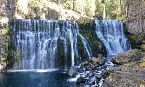 McCloud Falls13 mi straight-line, by our mathOpenUPPER END OF RANGE 50FT
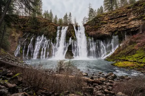 Burney Falls36 mi straight-line, by our mathOpen129FT
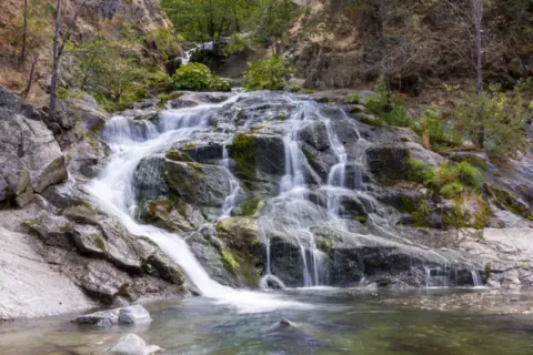 Crystal Creek Falls46 mi straight-line, by our mathOpen
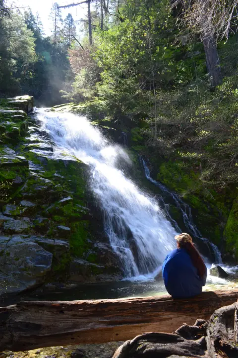 Whiskeytown Falls47 mi straight-line, by our mathOpen220FT
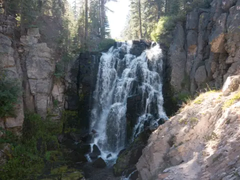 Kings Creek Falls69 mi straight-line, by our mathSeasonal
City guides: Waterfalls near Redding, CA
Sources
- Mount Shasta Trail Association: Hedge Creek Falls (trail, land agency, cautions; read Nov 11, 2026)
- Dunsmuir Chamber of Commerce: Adventure (35-foot height; read Nov 11, 2026)
- Discover Siskiyou: Hedge Creek Falls (a Siskiyou County tourism site; read Nov 11, 2026)
- City of Dunsmuir: Mossbrae Falls Trail (planned link to the Hedge Creek trail; updates dated Jul 23 and Aug 1, 2025; read Nov 11, 2026)
- City of Dunsmuir: home page (local waterfalls; read Nov 11, 2026)
- CEQAnet: Hedge Creek Falls and River Trail Project, SCH 2005032117 (lead agency City of Dunsmuir; 2005)
- Wikipedia: Hedge Creek Falls (I-5 history, stream, Black Bart; read Nov 11, 2026)
- OpenStreetMap: Hedge Creek Falls, node 1047407241 (coordinates)
- USGS GNIS geonames service: Hedge Creek, stream ID 261224; no record for the falls (queried Nov 11, 2026)
- City of Dunsmuir: Parks & Recreation (two city parks listed; read Nov 11, 2026)
Last verified Nov 11, 2026 by The Waterfall Guide editorial team. Conditions change: confirm with the official source before you go. Spotted something out of date? Report a correction.