Right now
Right now as of Nov 13, 2026
- Permit Park entrance pass.
Status note (Nov 13, 2026): Open, as far as we can tell (checked Nov 13, 2026). The NPS hiking page, updated Jan 15, 2026, lists the trail as open, and no current NPS alert names it. A road page last updated Nov 2025 says Crystal Creek Road can close for winter weather. What the status labels mean
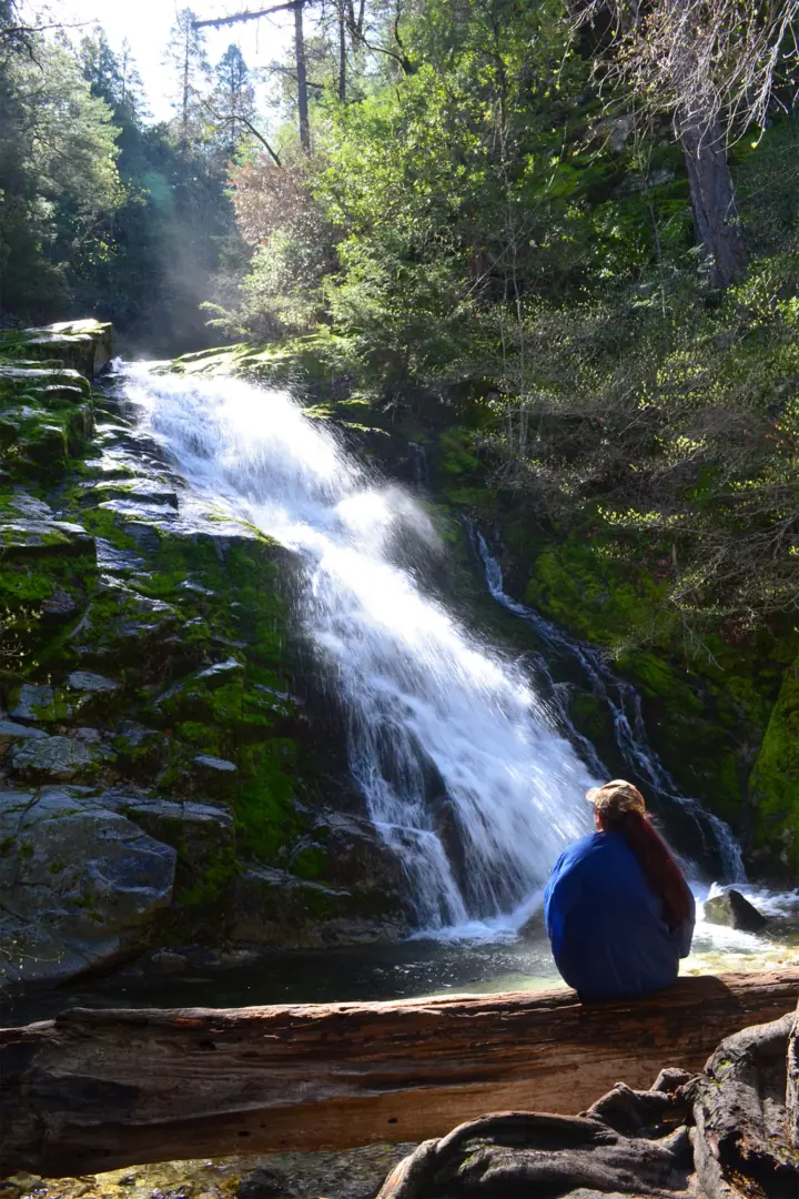
Whiskeytown Falls is a 220-foot waterfall in Whiskeytown National Recreation Area, west of Redding, California, per the NPS. The James K. Carr Trail to it is 3.4 miles round trip and steep. An entrance pass is required, and dogs must stay on a 6-foot leash.
About Whiskeytown Falls
Whiskeytown Falls drops 220 feet in three tiers, per the NPS. The park calls it the tallest waterfall in Whiskeytown National Recreation Area.
The falls stayed little known for decades. The NPS says rangers learned of them in 1967 but kept quiet, and staff rediscovered them in the early 2000s.
NPS pages date that rediscovery to 2003 on one page and 2004 on another. The trail is named for James K. Carr, a Kennedy administration official who helped create the recreation area.
The 2018 Carr Fire burned 97 percent of the park, per the NPS. The trail reopened on Feb 14, 2020, after repairs.
About our map pin
Our map pin is the USGS GNIS point for Whiskeytown Falls (feature ID 2076385), in Shasta County. Directions use the NPS trailhead point.
For an easier walk in the same park, see Crystal Creek Falls. For more, browse all California waterfalls.
For another falls about 59 miles away, see Burney Falls, straight-line by our math.
Getting there and parking
From I-5 in Redding, the NPS says to take Highway 44 west, then Highway 299 west. The visitor center is about 8 miles from Redding.
From the visitor center, drive 9 miles west on Highway 299 and turn left on Crystal Creek Road. Go 4 miles to a small paved lot on the left.
The NPS says the lot has only a few parking spots and a vault toilet.
Fees
"All visitors must have one entrance pass," the NPS says. Its fee page lists $25 for a private vehicle, $20 for a motorcycle and $15 per person, each for 7 days.
An annual park pass costs $55, and the America the Beautiful pass is accepted. The fee page gives no effective date. It calls the park cashless but also mentions cash for the annual pass at the visitor center.
Contact
The NPS lists park headquarters at 530-242-3400 and the visitor center at 530-246-1225.
Map and nearby falls
Map loads as you scroll. Open in OpenStreetMap
OpenPartly open / seasonalUnconfirmedClosedLarger map
Whiskeytown Falls hike: the James K. Carr Trail
The NPS lists the James K. Carr Trail at 3.4 miles round trip. Its trail page calls it "Strenuous! Steep!" and gives an elevation range of 2,200 to 2,900 feet.
The trail page's range works out to about 700 feet of climb, by our math. Other NPS pages give 520, "over 600" or 750 feet. A 2020 NPS page says to allow 2 to 3 hours.
The final 0.2 mile is dirt with rocks and roots, per the NPS. It asks hikers to use the metal handrails at the middle falls platform.
"Be prepared for downed trees along the trail," the NPS says. Bikes and horses are not allowed.
Dogs
The NPS allows dogs on this trail on a leash no longer than six feet. Pets are not allowed in park buildings or on the main swim beaches.
When to visit
The NPS says the park is open year-round, 24 hours a day. No official page names a best season for the falls.
From November to April, the NPS lists visitor center hours as 8:30 a.m. to 4 p.m., Wednesday to Sunday.
Status checks
On Nov 13, 2026, the NPS hiking page (updated Jan 15, 2026) listed the trail as open, and no current NPS alert named it.
The same NPS page lists two Mill Creek trails as temporarily closed for burn scar hazards. One starts from the James K. Carr Trail, so stay on the route to the falls.
The NPS road page says Crystal Creek Road is open but "subject to temporary winter weather closures." That page was last updated in November 2025, so call 530-242-3400 before you go.
| Height | 220 ftNote: 220 ft, per the National Park Service |
|---|---|
| Trail | The NPS lists the James K. Carr Trail at 3.4 miles round trip and calls it strenuous. Its elevation range is 2,200 to 2,900 feet. |
| Difficulty | Strenuous, per the NPS trail page. The NPS hiking page lists it as difficult. |
| Time needed | 2 to 3 hours, per a 2020 NPS page |
| Entry fee | An entrance pass is required, per the NPS. Its fee page lists $25 for a private vehicle for 7 days, $20 for a motorcycle and $15 per person on foot or bike. |
| Permit / reservation | A park entrance pass is required to enter and hike, per the NPS. |
| Parking | Small paved lot on Crystal Creek Road (NPS) |
| Dogs | The NPS allows dogs on this trail on a leash no longer than six feet, including retractable leashes. |
| Wheelchair / stroller | No official accessibility rating found. The NPS describes a steep, unpaved trail with loose rock and roots, and urges extra caution for people with limited mobility. |
| Restrooms | Vault toilet at the trailhead, per the NPS |
| Best time to visit | No official best month. The NPS lists the park as open year-round, 24 hours a day. |
| Crowds | No official visitor figure found. The NPS says the lot has only a few spots. |
| Managed by | National Park Service, Whiskeytown National Recreation Area |
Safety and swimming
The NPS warns of downed trees, loose rock and roots on this trail. Use the handrails at the middle falls platform.
We found no official swimming rule for Whiskeytown Falls.
Carry water. The trail is steep, and the NPS calls it strenuous.
In an emergency, call 911. Our waterfall safety guide has more on staying safe near falls.
Conditions change: confirm with the official source before you go.
Where to stay near Whiskeytown Falls
Compare hotels, cabins and rentals close to the falls around Redding.
See places to stay nearbyAffiliate link: we may earn a commission at no cost to you. Partners do not see or change our waterfall facts. Disclosure.
Whiskeytown Falls FAQ
How tall is Whiskeytown Falls?
220 feet, in three tiers, per the NPS. It calls it the tallest waterfall in Whiskeytown National Recreation Area.
How long is the hike to Whiskeytown Falls?
The NPS lists the James K. Carr Trail at 3.4 miles round trip and calls it strenuous and steep. A 2020 NPS page says to allow 2 to 3 hours.
Do you need a pass for Whiskeytown Falls?
Yes. The NPS says all visitors need an entrance pass. Its fee page lists $25 for a private vehicle for 7 days.
Is the Whiskeytown Falls trail open?
As far as we can tell, yes (checked Nov 13, 2026). The NPS hiking page, updated Jan 15, 2026, lists it as open. Crystal Creek Road may close for winter weather, so call ahead.
Are dogs allowed on the Whiskeytown Falls trail?
Yes, on a leash no longer than six feet, per the NPS.
Nearby waterfalls
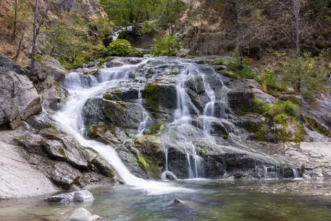 Crystal Creek Falls1 mi straight-line, by our mathOpen
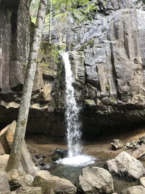 Hedge Creek Falls47 mi straight-line, by our mathOpenABOUT 35FT
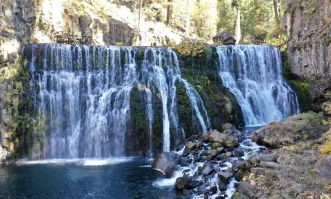 McCloud Falls54 mi straight-line, by our mathOpenUPPER END OF RANGE 50FT
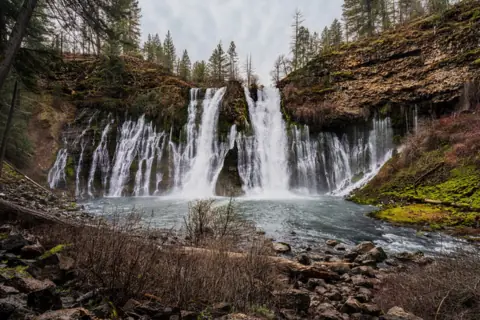 Burney Falls59 mi straight-line, by our mathOpen129FT
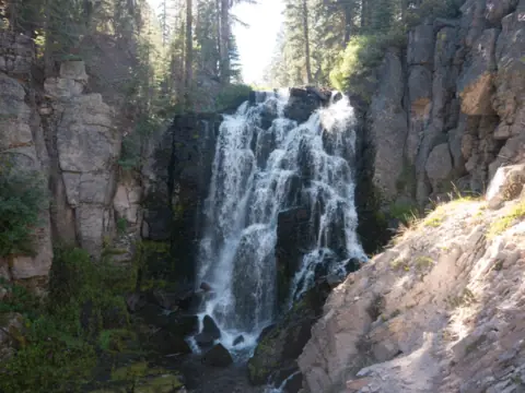 Kings Creek Falls66 mi straight-line, by our mathSeasonal
City guides: Waterfalls near Redding, CA
Sources
- NPS Whiskeytown: James K. Carr Trail to Whiskeytown Falls (updated Jan 15, 2026; read Nov 13, 2026)
- NPS Whiskeytown: Waterfalls of Whiskeytown (height, climb, history; updated Jan 28, 2026)
- NPS Whiskeytown: Hiking (trail status; updated Jan 15, 2026; read Nov 13, 2026)
- NPS: James K. Carr Trail to Whiskeytown Falls place page (elevation gain; updated Nov 13, 2020)
- NPS Whiskeytown: Current conditions (road status; page updated Nov 25, 2025)
- NPS alerts feed for Whiskeytown (the alerts shown on the conditions page; read Nov 13, 2026)
- NPS Whiskeytown: Fees and passes (updated Mar 13, 2026; no effective date shown)
- NPS Whiskeytown: Operating hours (updated Nov 4, 2026)
- NPS Whiskeytown: Pets (updated Oct 4, 2024)
- NPS Whiskeytown: Directions (updated Oct 4, 2024)
- NPS: Hike to Whiskeytown Falls (time, season, fee note; updated Nov 6, 2020)
- NPS Whiskeytown news release: Whiskeytown Falls trail reopens (Feb 14, 2020)
- USGS GNIS: Whiskeytown Falls, feature ID 2076385 (coordinates, Shasta County)
Last verified Nov 13, 2026 by The Waterfall Guide editorial team. Conditions change: confirm with National Park Service, Whiskeytown National Recreation Area before you go. Spotted something out of date? Report a correction.