Right now
Status note (Nov 11, 2026): Open, as far as we can tell. The USFS page (updated Dec 31, 2025) shows "Site Open", and we found no closure alert for it. What the status labels mean
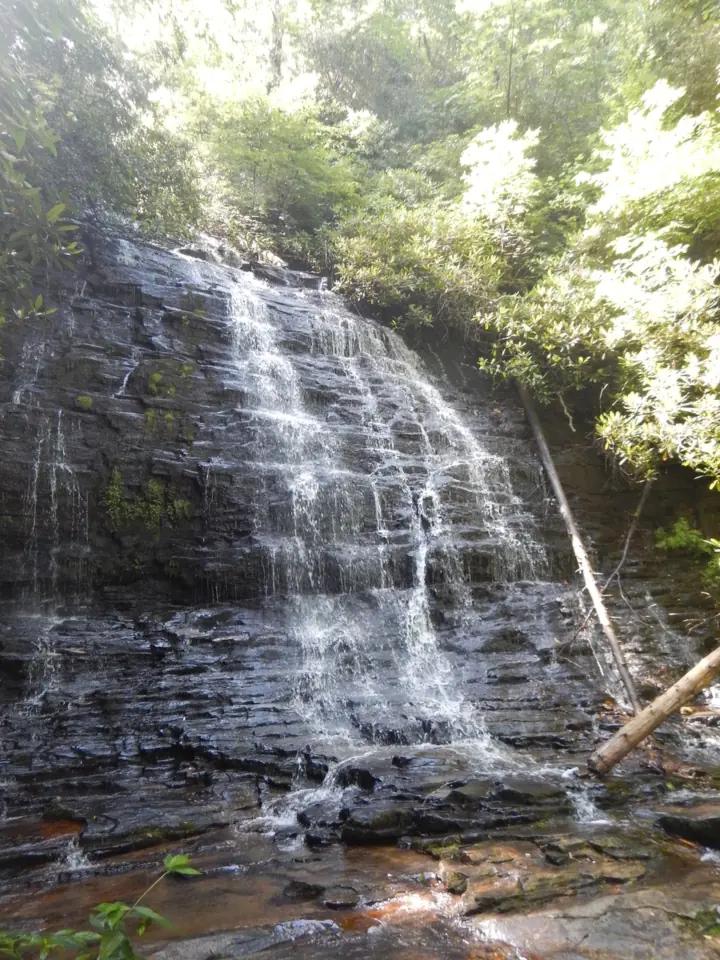
Spoonauger Falls is a 50-foot waterfall in the Sumter National Forest in Oconee County, South Carolina. The USFS calls the hike from the Chattooga Trail parking on Burrells Ford Road easy, at about 20 minutes. One creek crossing on the way could be difficult for some people.
About Spoonauger Falls
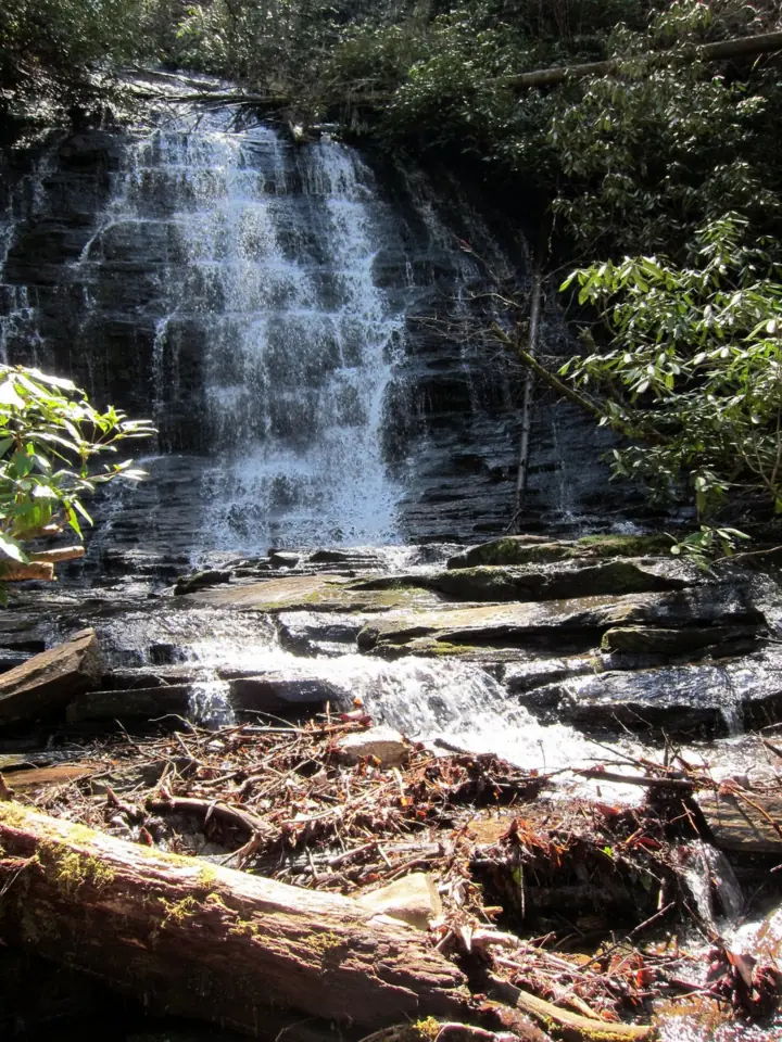
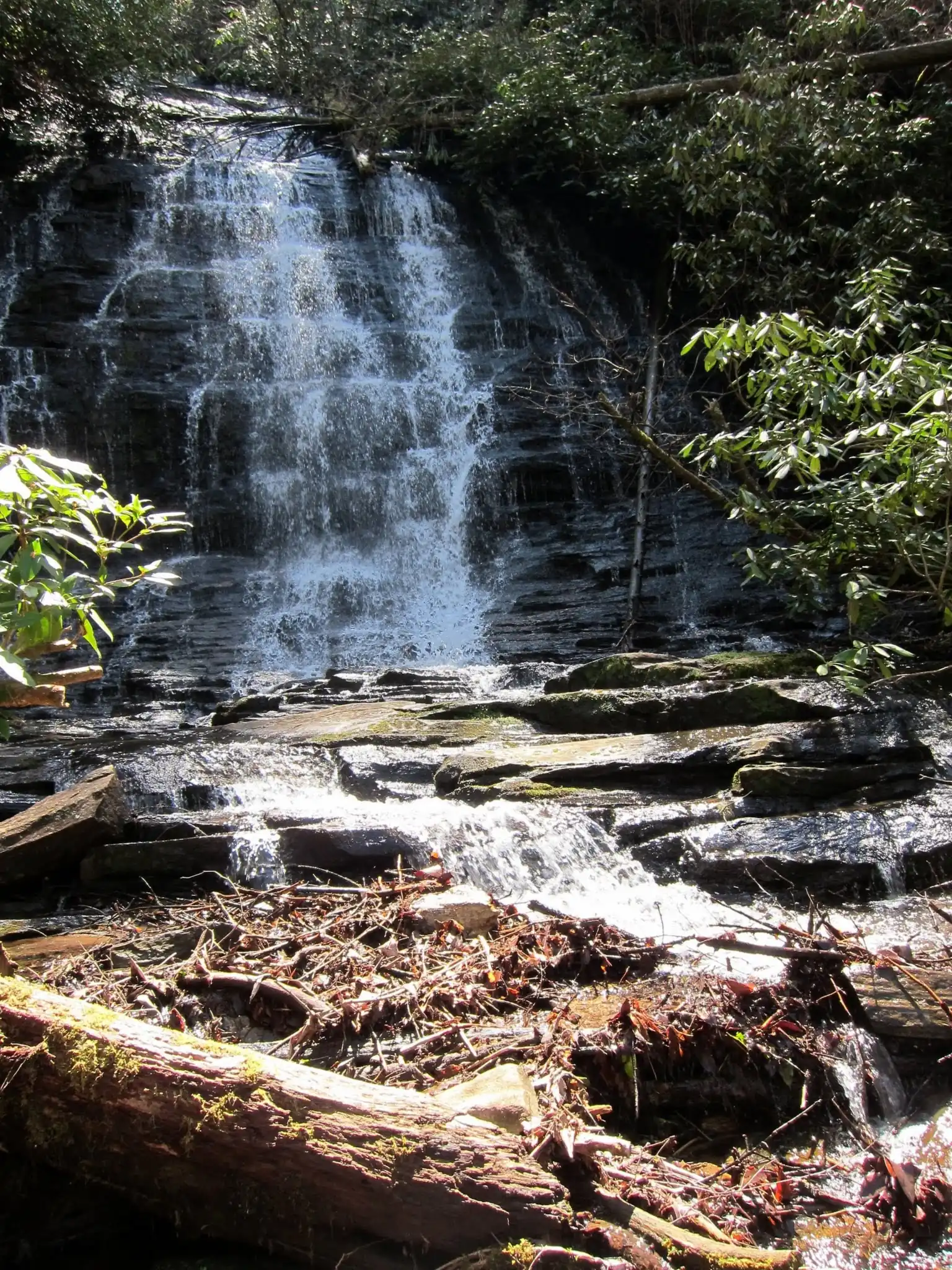
Spoonauger Falls is in the Andrew Pickens Ranger District of the Sumter National Forest. The USFS says it is "set back into a hillside" among rhododendron and "runs down a stepped rock face in a broad sheet."
The USFS gives the falls a height of 50 feet and says they are among the more popular in this part of the Chattooga River watershed. It credits that in part to the easy 20-minute hike.
A shorter waterfall is visible on the way, per the USFS. It describes it as a lower falls about 10 feet high.
The USFS lists the elevation at the base of the falls as 2,175 feet.
About our map pin
Our map pin is the USGS GNIS point for Spoonauger Falls, in Oconee County. We have no trailhead pin; use the USFS directions below.
For other Oconee County falls, see Station Cove Falls and Yellow Branch Falls, or browse all South Carolina waterfalls.
Getting there and parking
The USFS directions: from Walhalla, drive north 9.5 miles on SC 28 to SC 107. Bear right onto SC 107 and drive 10.4 miles.
Turn left onto Burrells Ford Road (FS 708), which is paved for the first 0.3 mile. Drive about three miles to the Chattooga Trail parking on the left, and look for the bulletin board.
SC Trails gives about 2.0 miles on Burrells Ford Road and warns that a trail sign may be missing. We use the USFS figure.
Parking on Burrells Ford Road
The USFS says parking is minimal along Burrells Ford Road, with more space at the Burrell's Ford parking lot.
No cell service
The USFS says there is no cell service at the trailhead or on the trail. The closest service is at the junction of SC 107 and Burrells Ford Road.
Contact
Andrew Pickens Ranger District: (864) 638-9568, per SC Trails. Francis Marion and Sumter National Forests Supervisor's Office: (803) 561-4000.
Map and nearby falls
Map loads as you scroll. Open in OpenStreetMap
OpenPartly open / seasonalUnconfirmedClosedLarger map
Spoonauger Falls trail: Chattooga Trail to the falls
The USFS breaks the hike into three parts. From the Chattooga Trail parking, it is an easy 0.25 mile north to the Spoonauger Falls Trail.
That first stretch includes one creek crossing that "could be difficult for some people," the USFS says. Its directions say you cross Spoonauger Creek, then turn right at a trail sign.
From the trail sign, it is an easy 0.1 mile to the first switchback, where you can see the lower 10-foot falls.
The last 0.1 mile is a moderate climb through three more switchbacks, on a trail "that is narrow with obstacles," per the USFS. It ends at the base of the falls.
Added up, that is about 0.45 mile one way, by our math. SC Trails lists the trail at 0.50 mile and rates it easy.
Camping at Burrells Ford
SC Trails says primitive campsites are available at Burrells Ford Campground. A separate USFS order sets food storage rules there.
When to visit
The USFS calls the falls "picturesque, especially in the summer when foliage is leafed out." It adds that afternoon light highlights the horizontal slashes of the rock.
Status checks
On Nov 11, 2026, the USFS page (updated Dec 31, 2025) showed "Site Open". Call the Andrew Pickens Ranger District at (864) 638-9568 to confirm.
Group size limits
A USFS order in effect from April 22, 2025, to April 22, 2027, limits groups in the upper Chattooga Wild and Scenic River corridor. Hiking groups larger than 12 are banned there.
The order exempts groups hiking within a quarter mile of Burrells Ford Road. It does not say whether the Spoonauger Falls trail lies inside that quarter mile.
| Height | 50 ftNote: 50 feet, per the USFS |
|---|---|
| Trail | The USFS describes an easy 20-minute hike: 0.25 mile on the Chattooga Trail, then about 0.2 mile up the Spoonauger Falls Trail. The last 0.1 mile is a moderate climb through switchbacks. |
| Difficulty | The USFS calls it an easy 20-minute hike. It rates the final 0.1 mile moderate, on a narrow trail with obstacles. |
| Entry fee | The USFS page lists no fee for Spoonauger Falls. |
| Permit / reservation | No permit listed. A USFS order caps group sizes in the upper Chattooga Wild and Scenic River corridor until April 22, 2027. |
| Parking | Chattooga Trail lot on Burrells Ford Road (USFS) |
| Dogs | We found no pet rule in the USFS page text we read. |
| Wheelchair / stroller | No official accessibility information found. The USFS describes a creek crossing and a narrow trail with obstacles. |
| Best time to visit | Summer, when the foliage is leafed out (USFS). |
| Crowds | The USFS says the falls are "among the more popular" in this part of the Chattooga River watershed. |
| Managed by | USDA Forest Service, Sumter National Forest (Andrew Pickens Ranger District) |
Safety and swimming
"Watch your step!" the USFS warns. Wet leaves, logs, rocks and steps can be slippery.
Take care at the creek crossing on the Chattooga Trail, which the USFS says could be difficult for some people.
The USFS warns of standing and fallen dead trees in the area. Exercise caution around them.
There is no cell service and no potable water at the site, per the USFS. Bring water and plan your route before you lose signal.
Stay on the trail to protect yourself, plants and stream banks, the USFS asks.
In an emergency, call 911. Our waterfall safety guide has more on staying safe near falls.
Conditions change: confirm with the official source before you go.
Where to stay near Spoonauger Falls
Compare hotels, cabins and rentals close to the falls around Walhalla.
See places to stay nearbyAffiliate link: we may earn a commission at no cost to you. Partners do not see or change our waterfall facts. Disclosure.
Photos

Spoonauger Falls FAQ
Is Spoonauger Falls open now?
As far as we can tell, yes (Nov 11, 2026). The USFS page, updated Dec 31, 2025, shows "Site Open".
How long is the hike to Spoonauger Falls?
The USFS calls it an easy 20-minute hike. Its trail segments add up to about 0.45 mile one way, by our math, and SC Trails lists 0.50 mile.
How tall is Spoonauger Falls?
The USFS says Spoonauger Falls is 50 feet high. A lower falls about 10 feet high is visible on the way.
Where do you park for Spoonauger Falls?
The USFS says to park at the Chattooga Trail parking on the left side of Burrells Ford Road, about three miles from SC 107. Roadside parking is minimal.
Is there cell service at Spoonauger Falls?
No. The USFS says the closest cell service is at the junction of SC 107 and Burrells Ford Road.
Nearby waterfalls
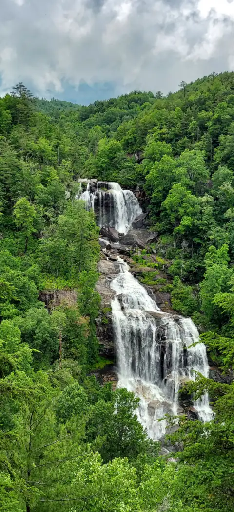 Whitewater Falls7 mi straight-line, by our mathOpen411FT
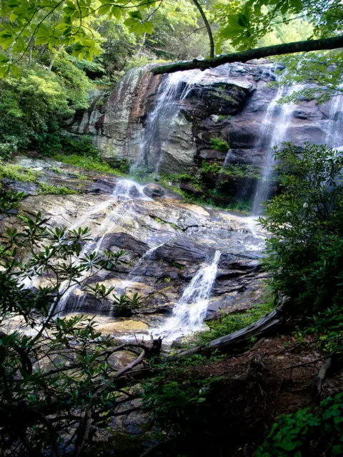 Glen Falls8 mi straight-line, by our mathOpen70FT
 Station Cove Falls9 mi straight-line, by our mathOpen60FT
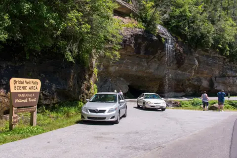 Bridal Veil Falls10 mi straight-line, by our mathOpen45FT
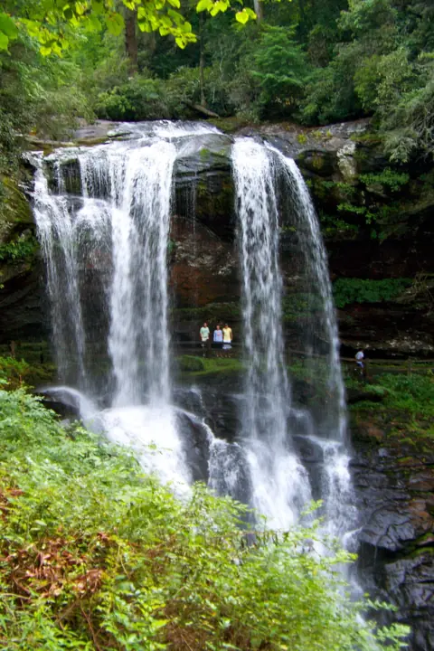 Dry Falls10 mi straight-line, by our mathOpen75FT
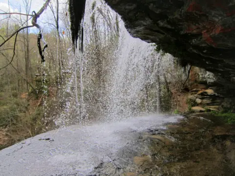 Issaqueena Falls12 mi straight-line, by our mathOpen100FT
 Yellow Branch Falls12 mi straight-line, by our mathOpen50FT
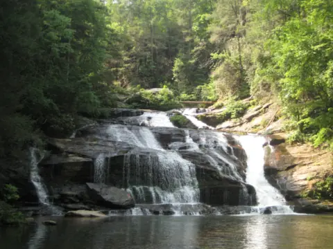 Panther Creek Falls26 mi straight-line, by our mathPartly open70FT
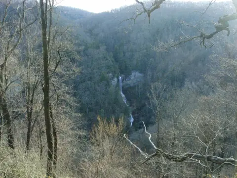 Raven Cliff Falls (SC)27 mi straight-line, by our mathOpen420FT
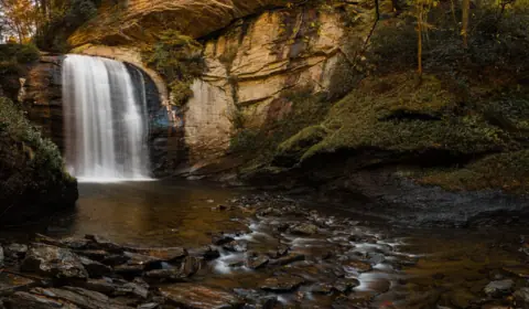 Looking Glass Falls29 mi straight-line, by our mathOpen60FT
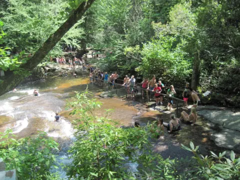 Sliding Rock30 mi straight-line, by our mathOpen60FT
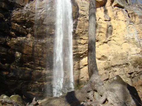 Toccoa Falls30 mi straight-line, by our mathOpen186FT
All waterfalls in South Carolina
City guides: Waterfalls near Greenville, SC · Waterfalls near Highlands, NC · Waterfalls near Brevard, NC
Sources
- USDA Forest Service: Spoonauger Falls (updated Dec 31, 2025; read Nov 11, 2026)
- USDA Forest Service: Upper Chattooga River Corridor restrictions, Order 08-12-00-25-07 (read Nov 11, 2026)
- USDA Forest Service: Occupancy and use restrictions for food storage, incl. Burrells Ford Campground (alert listed Nov 11, 2026)
- SC Trails (SC State Trails Program): Spoonauger Falls (read Nov 11, 2026)
- USGS GNIS: Spoonauger Falls, feature ID 1230541 (coordinates, Oconee County)
Last verified Nov 11, 2026 by The Waterfall Guide editorial team. Conditions change: confirm with USDA Forest Service, Sumter National Forest (Andrew Pickens Ranger District) before you go. Spotted something out of date? Report a correction.