Right now
Status note (Nov 8, 2026): Open, as far as we can tell (Nov 8, 2026). The USFS page shows "Site Open", and no Francis Marion and Sumter alert names Yellow Branch or SC Highway 28. What the status labels mean
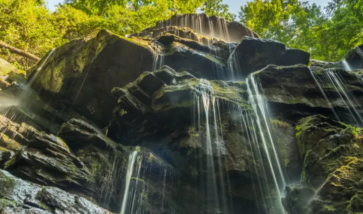
Yellow Branch Falls is a 50-foot cascade in Sumter National Forest near Walhalla, in Oconee County, SC. The USFS route starts at Yellow Branch Picnic Area: 0.2 mile on a nature trail, then 1.3 miles to the falls. The trail is moderately difficult, and in dry spells the falls may be just a trickle.
About Yellow Branch Falls
Yellow Branch Falls is on the Andrew Pickens Ranger District of Sumter National Forest, west of Walhalla, SC. The USFS lists the falls under that district, and the trail starts at Yellow Branch Picnic Area.
The USFS describes "a spectacular 50-foot vertical cascade" at the end of a moderately difficult out-and-back trail. Flow depends on rain. After a dry spell, the USFS says, the falls "may be just a trickle of water over a series of ledges."
Our map pin uses the OpenStreetMap point for the falls. The trailhead pin uses its point for the picnic area parking lot.
Issaqueena Falls, in a Walhalla city park, is the other falls near Walhalla on this site.
Getting there and parking
The USFS directions: "From Walhalla, drive west 6.8 miles on SC Highway 28, and turn left into Yellow Branch Picnic Area."
The USFS lists the elevation as 1,520 feet at the lower parking area.
Parking
The USFS says "there is a parking lot at the trailhead access and an overflow parking lot up the hill." Picnic tables are near the parking lot.
Facilities and cell service
The USFS page says potable water is not available, and it has no restroom information for the site. Bring your own water.
The USFS also warns that cell service is unavailable at the parking area and unreliable along the trails. Download a map before you leave Walhalla.
Fees
The USFS Yellow Branch Falls page lists no fee or pass. To confirm, call the Supervisor's Office at (803) 561-4000.
Map and nearby falls
Map loads as you scroll. Open in OpenStreetMap
OpenPartly open / seasonalUnconfirmedClosedLarger map
Yellow Branch Falls Trail: nature trail, creek crossings and a descent
The USFS calls the route "a moderately difficult out-and-back trail." Its directions say to hike 0.2 mile on the Yellow Branch Nature Trail, then 1.3 miles on the Yellow Branch Falls Trail.
That makes about 1.5 miles each way, or about 3 miles round trip by our math. The USFS does not publish a round-trip figure or a time.
The easy first part
On the Yellow Branch Falls Trail, the USFS says, the terrain is easy and "mostly level for about 0.4 miles" through hardwood forest along Yellow Branch Creek.
Depending on which nature trail route you take from the parking area, you will cross Yellow Branch Creek up to four times. Wet wood on bridges and steps can be slippery.
The descent to the falls
After the last creek crossing, the USFS says the trail runs "approximately 1 mile to the waterfall" on steeper ground. It winds mostly downward, wrapping around the mountainside.
The USFS rates this part moderate. The first 0.25 mile of the descent is the steepest, and the trail levels out closer to the falls.
Remember that the walk back climbs the same slope.
Two slightly different distances
The USFS directions give 1.3 miles on the falls trail, while its trail description adds up to about 1.4 (0.4 plus about 1). Plan for roughly 3 miles round trip either way.
Dogs
We found no official pet rule. The USFS page has a Pet Information heading with no text under it. Call the Supervisor's Office at (803) 561-4000 before you bring a dog.
Accessibility
We found no accessibility information. The trail has creek crossings, steps and a steep descent, and the USFS says it skirts the edges of deep ravines.
When to visit
The USFS publishes no best season, but it does say flow drops in dry weather. After a dry spell, the falls may be just a trickle over a series of ledges.
For a fuller falls, go after a stretch of rain. Take extra care then: the USFS warns that wet leaves, logs, rocks, bridges and steps can be slippery.
Winter
In winter, when the trees are bare, the USFS says you can see the Walhalla area as you hike.
Status checks
The Francis Marion and Sumter alerts page is where the Forest Service posts closures for fire, weather or dangerous conditions. No alert named Yellow Branch or SC Highway 28 on Nov 8, 2026. For the latest trail status, the page also lists the Call Before You Haul hotline at 803-561-4025.
For more falls nearby, see our waterfalls near Greenville, SC and waterfalls near Highlands, NC pages.
| Height | 50 ftNote: USFS: a "50-foot vertical cascade" |
|---|---|
| Trail | Out-and-back from Yellow Branch Picnic Area. The USFS directions say to hike 0.2 mile on the Yellow Branch Nature Trail, then 1.3 miles on the Yellow Branch Falls Trail. That is about 3 miles round trip by our math. The USFS rates the trail moderately difficult |
| Difficulty | The USFS calls it "a moderately difficult out-and-back trail". The first part is easy and mostly level; the descent to the falls is moderate |
| Entry fee | No fee is listed on the USFS Yellow Branch Falls page. |
| Permit / reservation | No permit or fee is listed on the USFS Yellow Branch Falls page |
| Parking | Yellow Branch Picnic Area lot + overflow |
| Dogs | No official rule found. The USFS page has a Pet Information heading but no text under it |
| Swimming | No official rule found. The USFS page does not mention swimming at the falls |
| Wheelchair / stroller | No official accessibility information found. The USFS rates the trail moderately difficult and says it skirts the edges of deep ravines |
| Walk behind the falls | No |
| Restrooms | No restroom information on the USFS page. Potable water is not available. |
| Best time to visit | No official best month. The USFS says that after a dry spell the falls may be just a trickle over a series of ledges |
| Crowds | No official visitor figure published |
| Managed by | USDA Forest Service, Sumter National Forest (Andrew Pickens Ranger District) |
Safety and swimming
Wear sturdy shoes. The USFS says to "use extra caution during wet conditions as the trail skirts the edges of deep ravines."
Watch your footing on wet leaves, logs, rocks and the wood of bridges and steps. The USFS lists all of these as slippery.
Stay on the trail. The USFS asks hikers to do so to protect themselves and the plants and stream banks.
Expect no cell signal at the parking area. Tell someone your plan before you go, and carry water, since the USFS lists no potable water at the site.
In an emergency, call 911. Our waterfall safety guide has more on staying safe near falls.
Conditions change: confirm with the official source before you go.
Where to stay near Yellow Branch Falls
Compare hotels, cabins and rentals close to the falls around Walhalla.
See places to stay nearbyAffiliate link: we may earn a commission at no cost to you. Partners do not see or change our waterfall facts. Disclosure.
Yellow Branch Falls FAQ
Is Yellow Branch Falls open now?
As far as we can tell, yes (Nov 8, 2026). The USFS page shows "Site Open", and no Francis Marion and Sumter alert names Yellow Branch or SC Highway 28.
How long is the hike to Yellow Branch Falls?
The USFS directions give 0.2 mile on the Yellow Branch Nature Trail plus 1.3 miles on the falls trail. That is about 1.5 miles each way, or about 3 miles round trip by our math.
How hard is the Yellow Branch Falls Trail?
The USFS calls it moderately difficult. On the falls trail, the first 0.4 mile or so is easy and mostly level. Then about 1 mile winds down to the falls, steepest in its first 0.25 mile.
How tall is Yellow Branch Falls?
The USFS describes a 50-foot vertical cascade. In dry weather it may be just a trickle over a series of ledges.
Where do you park for Yellow Branch Falls?
At Yellow Branch Picnic Area, 6.8 miles west of Walhalla on SC Highway 28, per the USFS. There is a lot at the trailhead and an overflow lot up the hill.
Is there a fee at Yellow Branch Falls?
The USFS Yellow Branch Falls page lists no fee or pass.
Are dogs allowed on the Yellow Branch Falls Trail?
We found no official rule. The USFS page has a Pet Information heading with no text, so call the Supervisor's Office at (803) 561-4000 before you bring a dog.
Nearby waterfalls
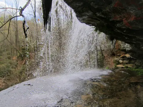 Issaqueena Falls1 mi straight-line, by our mathOpen100FT
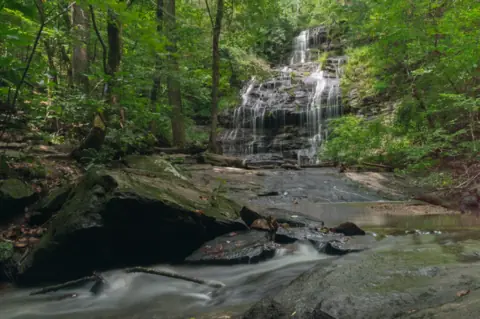 Station Cove Falls5 mi straight-line, by our mathOpen60FT
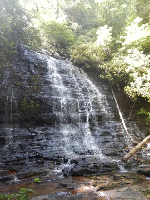 Spoonauger Falls12 mi straight-line, by our mathOpen50FT
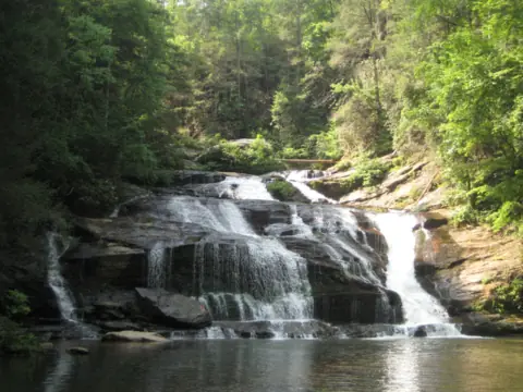 Panther Creek Falls17 mi straight-line, by our mathPartly open70FT
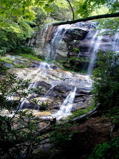 Glen Falls17 mi straight-line, by our mathOpen70FT
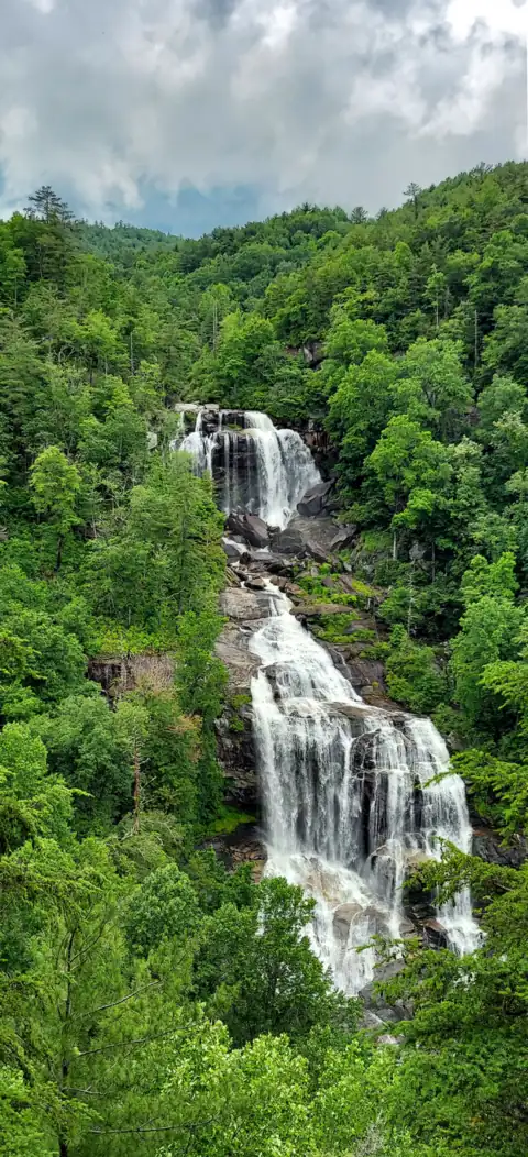 Whitewater Falls18 mi straight-line, by our mathOpen411FT
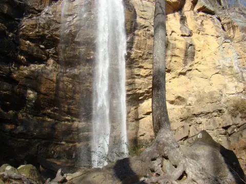 Toccoa Falls19 mi straight-line, by our mathOpen186FT
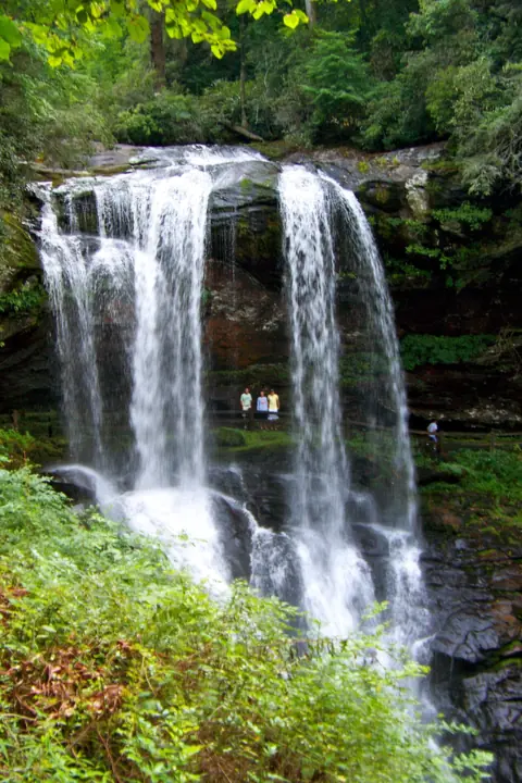 Dry Falls20 mi straight-line, by our mathOpen75FT
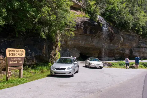 Bridal Veil Falls20 mi straight-line, by our mathOpen45FT
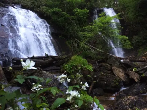 Anna Ruby Falls33 mi straight-line, by our mathOpen153FT
 High Shoals Falls33 mi straight-line, by our mathOpen
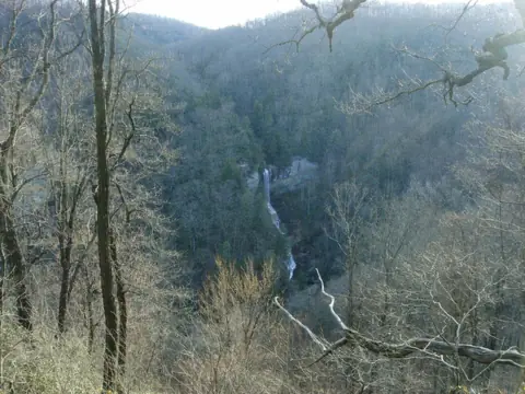 Raven Cliff Falls (SC)34 mi straight-line, by our mathOpen420FT
All waterfalls in South Carolina
City guides: Waterfalls near Greenville, SC · Waterfalls near Highlands, NC · Waterfalls near Helen, GA
Sources
- USDA Forest Service: Yellow Branch Falls (trail, directions, parking, elevation, facilities; page updated Dec 30, 2025; read Nov 8, 2026)
- USDA Forest Service: Yellow Branch Falls printable guide and vicinity map
- USDA Forest Service: Francis Marion and Sumter National Forests alerts (no Yellow Branch alert; read Nov 8, 2026)
- USDA Forest Service: Andrew Pickens Ranger District
- OpenStreetMap: Yellow Branch Falls, node 3764719299 (map pin)
- OpenStreetMap: Yellow Branch Picnic Area parking, way 269209247 (trailhead pin)
- US Census Bureau TIGERweb: county lookup for the falls point (Oconee County; Nov 8, 2026)
Last verified Nov 8, 2026 by The Waterfall Guide editorial team. Conditions change: confirm with USDA Forest Service, Sumter National Forest (Andrew Pickens Ranger District) before you go. Spotted something out of date? Report a correction.